What is recorded here
No church wall or grave marker breaks the pasture grass, yet the land still carries the shape of a sacred loss. Forget the pride of building something visible when oblivion is the final architect.
Not shown on 1842 and 1903 OS 6-inch maps. In pasture. No visible surface trace of either church or graveyard.
The above description is derived from the published 'Archaeological Inventory of County Cork. Volume 3: Mid Cork' (Dublin: Stationery Office, 1997). In certain instances the entries have been revised and updated in the light of recent research.
Date of upload/revision: 14 January 2009
The monument record does not grant public access. Check the route and ask the landowner before entering private land.
- What survives
- Recorded monument
Places near here
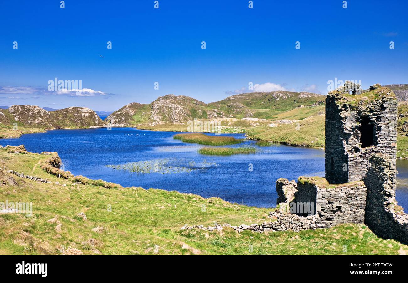 Fulacht FianFulacht fia · 401 yd
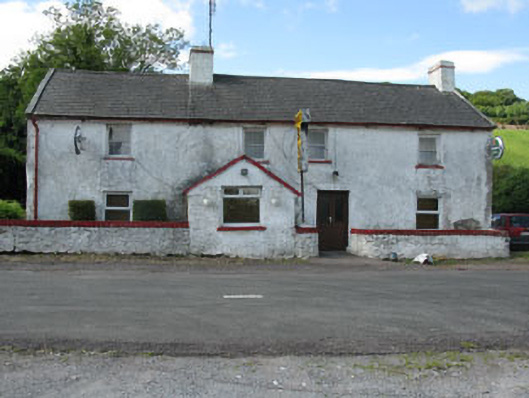 Horan's Barhouse · 833 yd
 Rye Court Bridgebridge · 1123 yd
 Castlemore CastleCastle · 1269 yd
 Pedunculate OakPedunculate Oak · 1353 yd
 CrossnalannivBurial ground · 1.0 mi
 Sunday's WellSpring · 1.8 mi
 Clodah CastleCastle · 2.1 mi
 Quarry WoodWood · 3.0 mi
 Carrigadrohid CastleHeritage attraction · 3.2 mi
 Carrigadrohid Castle InfoVisitor information · 3.3 mi
 Independence MuseumMuseum · 3.4 mi