What is recorded here
Scotland's National Record of the Historic Environment records Ave Maria as Motor Fishing Vessel (period Unassigned)-(2003). The official map says its point is accurate as follows: NGR given to the nearest 1m. The record does not by itself mean that the public may enter the place.
Ave Maria was a motor fishing vessel that sank off the Scottish coast in 2003; the wreck lies in shallow water and is noted for its precise mapping in the National Record of the Historic Environment.
The historic-place record does not grant public access. Check current conditions and ownership before entering land or a building.
Places near here
 Ballyquintin Point Nature ReserveNature reserve · 7.9 mi
 Guns IslandIslet · 8.5 mi
 Ballyhornan Picnic SitePicnic place · 8.9 mi
 Mullog PointHeadland · 9.0 mi
 MEDIEVAL CHURCH RENLES in Killard UpperMEDIEVAL CHURCH RENLES · 9.1 mi
 Millin Bay CairnArchaeological place · 9.2 mi
 LignatinnyBay · 9.2 mi
 Kilclief BeachBeach / strand · 9.4 mi
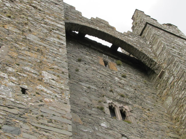 TOWER-HOUSE & C13th COFFIN LID: KILCLIEF CASTLE in KilcliefTOWER-HOUSE & C13th COFFIN LID: KILCLIEF CASTLE · 9.4 mi
 Kilclief CastleCastle · 9.4 mi
 Parish ChurchChurch · 9.5 mi
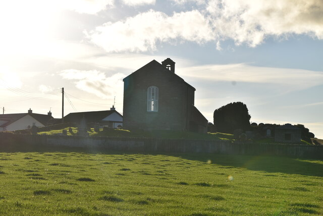 ANGLO-NORMAN COFFIN LIDS (2) (in C. of I. church) & site of MEDIEVAL CHURCH in KilcliefANGLO-NORMAN COFFIN LIDS (2) (in C. of I. church) & site of MEDIEVAL CHURCH · 9.5 mi