What is recorded here
Ave Maria is a motor fishing vessel lost in County Down waters in 2003, now resting at 35 metres. That much is clear. What is not clear is whether she sank in a storm or simply disappeared from the charts, or whether her name was a prayer spoken by a superstitious crew or a mockery whispered by a proud one. The sea keeps both possibilities alive.
The official Northern Ireland wreck record identifies Ave Maria as Motor fishing vessel. It was lost in 2003. Recorded depth: 35m.
Ave Maria was a motor fishing vessel lost in 2003 off the coast of Northern Ireland. It sank at a depth of 35 metres; details of lives or cargo lost are not recorded.
A wreck point does not grant access or permission to dive, enter land, disturb the site or recover anything. Check current law and local conditions first.
Places near here
 Ballyquintin Point Nature ReserveNature reserve · 7.9 mi
 Guns IslandIslet · 8.5 mi
 Ballyhornan Picnic SitePicnic place · 8.9 mi
 Mullog PointHeadland · 9.0 mi
 MEDIEVAL CHURCH RENLES in Killard UpperMEDIEVAL CHURCH RENLES · 9.1 mi
 Millin Bay CairnArchaeological place · 9.2 mi
 LignatinnyBay · 9.2 mi
 Kilclief BeachBeach / strand · 9.4 mi
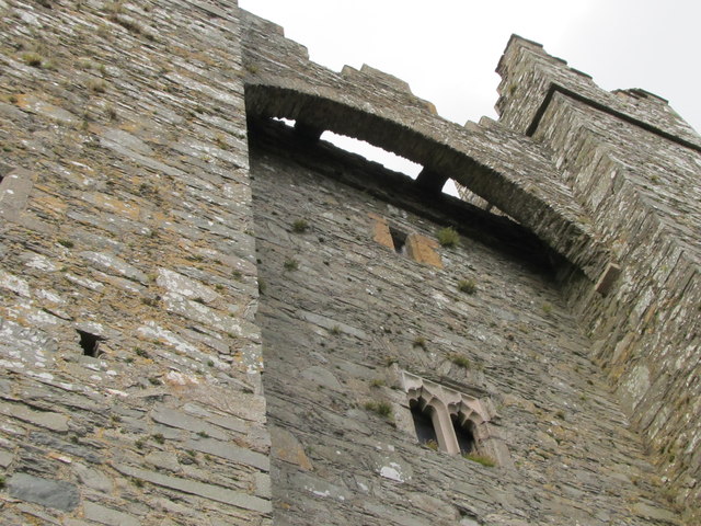 TOWER-HOUSE & C13th COFFIN LID: KILCLIEF CASTLE in KilcliefTOWER-HOUSE & C13th COFFIN LID: KILCLIEF CASTLE · 9.4 mi
 Kilclief CastleCastle · 9.4 mi
 Parish ChurchChurch · 9.5 mi
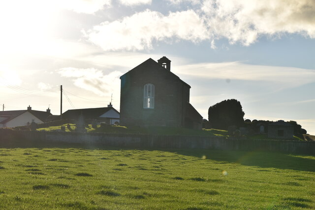 ANGLO-NORMAN COFFIN LIDS (2) (in C. of I. church) & site of MEDIEVAL CHURCH in KilcliefANGLO-NORMAN COFFIN LIDS (2) (in C. of I. church) & site of MEDIEVAL CHURCH · 9.5 mi