What is recorded here
Marianne Spedding and C J Anderson recorded Attical Historic Settlement in County Down during the post-medieval period. The name repeats like a broken rhythm, but the place remains clear beneath the noise. People likely lived there long enough to leave marks the land still holds.
The official Northern Ireland record identifies this as Attical Historic Settlement. Recorded period: POST-MED. The official map point was placed at the centre of the recorded archaeological site from the source map reference.
The monument record does not grant public access. Check the route and ask the landowner before entering private land.
- What survives
- Recorded monument
Places near here
 A.P. SITEA.P. SITE, circular enclosure · 1.2 mi
 SlievebugMountain / peak · 1.5 mi
 SlievenagoreMountain / peak · 1.6 mi
 Crocknafeola WoodForest · 1.7 mi
 ENCLOSURE in BallymageoghENCLOSURE · 1.8 mi
 Mourne ParkWood · 2.1 mi
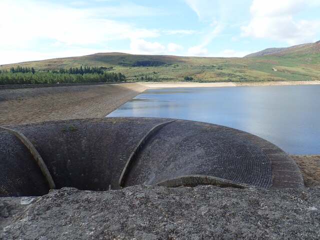 Silent ValleyVisitor information · 2.2 mi
 Springfield VillaCountry House · 2.4 mi
 Pigeon RockCliff · 2.7 mi
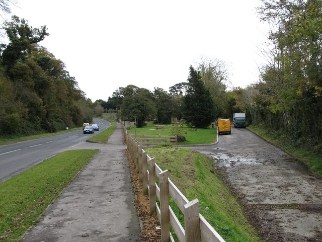 Whitewater Picnic Area & Disabled Fishing sitePicnic place · 2.7 mi
 "George's"House · 2.7 mi
 Hanna's Close WalkWalking route · 2.8 mi