What is recorded here
In the N corner of the graveyard (DG103-002003-) is a low grass covered grave-mound at either end of which is a dressed fragment (DG103-002002-). On the S is a weathered block with late medieval moulding of alternate right angles and cavettos; possibly from a door. On the N is a window jamb fragment; probably of similar date. These undoubtedly came from the parish church. The church is located in a still-used rectangular graveyard which seems formerly to have been larger in extent. The site is the location of an early ecclesiastical settlement (Gwynn and Hadcock 1970, 35).
The above description was derived from the 'Archaeological Survey of County Donegal. A description of the field antiquities of the County from the Mesolithic Period to the 17th century.' Compiled by: Brian Lacey with Eamon Cody, Claire Cotter, Judy Cuppage, Noel Dunne, Vincent Hurley, Celie O'Rahilly, Paul Walsh and Seán Ó Nualláin (Lifford: Donegal County Council, 1983). In certain instances the entries have been revised and updated.
Attached images:
DG103-002002-_01
DG103-002002-_02
Date of upload: 22 September 2008
The monument record does not grant public access. Check the route and ask the landowner before entering private land.
- What survives
- Recorded monument
Places near here
 Hamilton Mausoleummausoleum · 15 yd
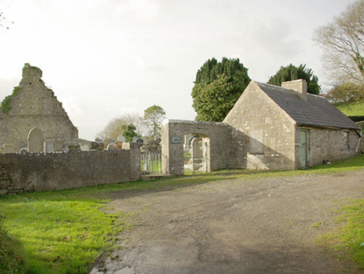 Drumhome Old Church Graveyardgraveyard/cemetery · 27 yd
 Moneymore Small Fairy FortFairy fort / earthen ringfort · 1626 yd
 MurvaghOfficial bathing water · 1.1 mi
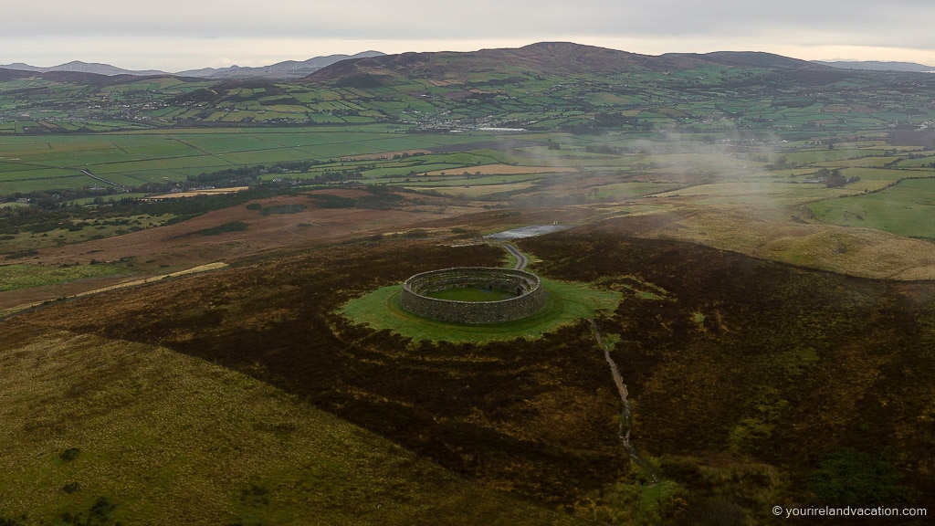 Ballybulgan Raised Fairy FortFairy fort / earthen ringfort · 1.1 mi
 Castle (Site of)Castle, unclassified · 1.5 mi
 Rooney's IslandIslet · 2.5 mi
 RossnowlaghOfficial bathing water · 3.3 mi
 Ballyboyle Castle (Site of)Castle, tower house · 3.4 mi
 Ballyboyle IslandIslet · 3.5 mi
 HawthornHawthorn · 3.6 mi
 Salthill GardensHeritage attraction · 3.6 mi