What is recorded here
Located in a wooded depression on a gentle N-facing slope. The holy well (WA029-023001-) was venerated in the 19th century (O'C. Redmond 1895, 155-6) and there is a record of a possible bullaun stone (WA029-023003-), and of a carved stone head built into the surrounding canopy (Buckley 1896, 214). A circular well with a canopy survives but the other features are not visible. (O'Keeffe 1994, 132)
Buckley, M. J. C. (1896) Notes on Kilmolash Church, Near Cappoquin, Co. Waterford, WAJ vol. 2, 212-20.
O'C. Redmond, G. (1895) Notes on the history, antiquities, archaeological remains and legends connected with the western end of the county Waterford, part II.WAJ 1, 119-32, 147-61.
O'Keeffe, T. (1994) Lismore and Cashel: reflections on the beginnings of Romanesque architecture in Munster. JRSAI 124, 118-52.
Compiled by: Michael Moore
Date of upload: 26 July 2011
The monument record does not grant public access. Check the route and ask the landowner before entering private land.
- What survives
- Recorded monument
Places near here
 St. Columkilles WellHoly well · 1 yd
 Dromona HillMountain / peak · 810 yd
 Abbey (in ruins)Church · 1371 yd
 (Site of) CastleCastle, tower house · 1.2 mi
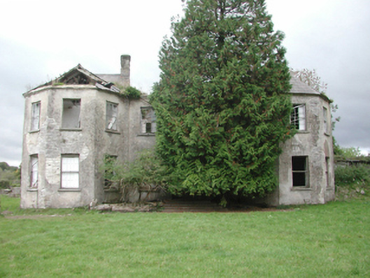 Affane Housecountry house · 1.2 mi
 Font in KilmolashFont · 1.2 mi
 Dromana GateHeritage attraction · 1.3 mi
 Battle of AffaneMajor battlefield · 1.4 mi
 London PlaneLondon Plane · 1.4 mi
 Tourin CastleCastle, tower house · 1.4 mi
 Bishopstown WoodForest · 3.9 mi
 Lady Louisa's WalkWalking route · 4.5 mi