What is recorded here
Ballyhenry Major hides a possible rath beneath its fields, waiting for rain or harvest to reveal its ghost. The land may have swallowed a ancient circle of stones or earth, yet the soil still remembers the shape. People walked there before roads existed, perhaps marking territory or praying to storms. The cropmark appears and disappears like breath, proving the past never fully dies.
The official Northern Ireland record identifies this as AP Cropmark- Possible rath. Recorded period: UNCERTAIN. The official map point was placed at the centre of the recorded archaeological site from the source map reference.
The monument record does not grant public access. Check the route and ask the landowner before entering private land.
- What survives
- Recorded monument
Places near here
 AP CropmarkAP Cropmark, Possible circular enclosure · 560 yd
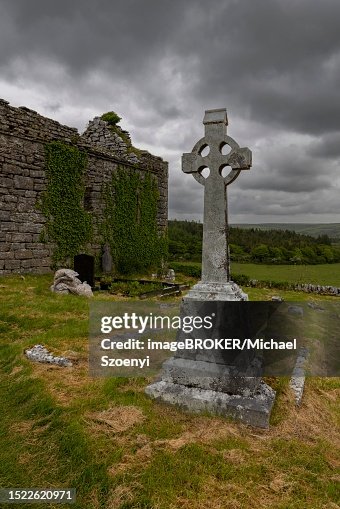 AP Cropmark Complex- Possibly associated with the unlocated site of Castlebeg medieval church? in CastlebegAP Cropmark Complex- Possibly associated with the unlocated site of Castlebeg medieval church? · 826 yd
 FORTIFICATION (site of): MOUNT ALEXANDER CASTLE in Mount AlexanderFORTIFICATION (site of): MOUNT ALEXANDER CASTLE · 1360 yd
_-_geograph.org.uk_-_2254778.jpg?width=1280) The Gillespie MonumentMemorial · 1595 yd
The Gillespie MonumentMemorial · 1595 yd Comber Non-subscribing Presbyterian ChurchChurch · 1743 yd
 Scrabo HillMountain / peak · 1.5 mi
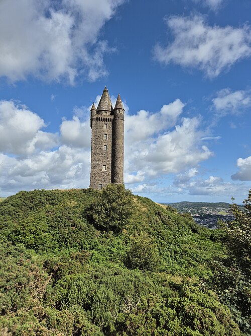 Scrabo TowerHeritage attraction · 1.5 mi
 CASTLE in Commons (newtownards)CASTLE · 2.1 mi
 Rough IslandIslet · 2.2 mi
 Kiltonga Nature ReserveNature reserve · 2.5 mi
 Castle Espie Wetland CentreNature reserve · 2.8 mi
 CairngaverMountain / peak · 3.8 mi