What is recorded here
Carrigcreender holds four stones in a rough north-south line on a low Kerry ridge, yet only the tallest standing stone appears on official maps. The southern boulder remains earthfast, two northern stones lie prostrate, and one may have fallen from an upright life. Their hidden alignment suggests human hands shaped the ridge before forgetting erased three of four markers.
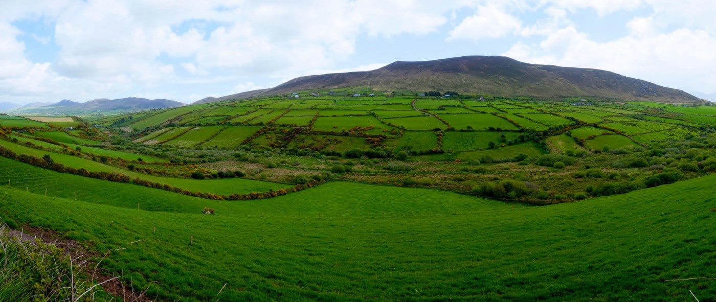
Carrigcreender/Carraig Chríondar: Situated on level pastureland on the low ridge separating the Owenascaul river from one of its tributaries to W. The site comprises a rather enigmatic group of 4 stones in a rough N-S line. The southernmost is an earthfast boulder measuring .6m in height and .9m x .5m at base. About .9m to N is a standing stone measuring 1.35m in height and .61m x .7m at base. Two prostrate stones lie .35m further N again; the westernmost partly overlies its companion and it is possible that both formerly stood upright. However, only the standing stone is shown on the OS maps and mentioned in the OSNB (Ballynacourty, 29).
The above description is derived from J. Cuppage, ‘Corca Dhuibhne. Dingle Peninsula archaeological survey. Ballyferriter. Oidhreacht Chorca Dhuibhne’ (1986), no. 161. In certain instances the entries have been revised and updated in the light of recent research.
Date of upload: 4 August 2013
The monument record does not grant public access. Check the route and ask the landowner before entering private land.
- What survives
- Recorded monument
Places near here
 Man-made underground passage in CoumduffMan-made underground passage · 440 yd
 Church in AnnagapChurch · 486 yd
 Hut site in DerrygormanHut site · 766 yd
 Graveyard in BallynacourtyGraveyard · 1046 yd
 Brackloon Lodgehotel · 1565 yd
 Statue of Our LadyHeritage attraction · 1583 yd
 Jerome ConnorMemorial · 1591 yd
 Bunaneer StrandBeach / strand · 1.9 mi
 Knockmulanane West TopMountain / peak · 2.1 mi
 Cnoc na BánóigeMountain / peak · 2.7 mi
 Glanteenassig Forest ParkForest · 3.0 mi
 Acres PointHeadland · 3.1 mi