What is recorded here
The official Northern Ireland record identifies this as ANDERSON-TYPE AIR RAID SHELTER - DHP no.156. Recorded period: MODERN. The official map point was placed at the centre of the recorded archaeological site from the source map reference.
The monument record does not grant public access. Check the route and ask the landowner before entering private land.
- What survives
- Recorded monument
Places near here
 Waterside Presbyterian ChurchChurch · 317 yd
 FORTIFICATION: EBRINGTON BARRACKS in ClooneyFORTIFICATION: EBRINGTON BARRACKS · 346 yd
 St Columb's HallHall · 721 yd
 Peace FlameMonument · 725 yd
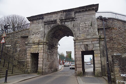 Siege of DerrySiege and battlefield · 738 yd
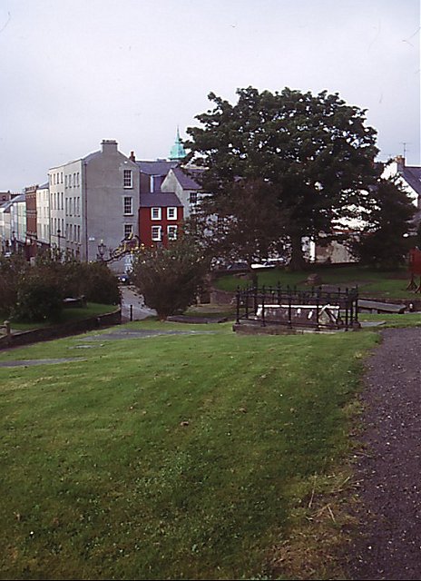 Cathedral viewViewpoint · 846 yd
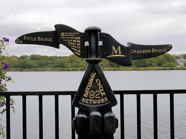 Millennium MilepostVisitor information · 852 yd
 Tower MuseumMuseum · 859 yd
 TOWER-HOUSE: O'DOHERTY'S CASTLE or THE MAGAZINE in Derry; LondonderryTOWER-HOUSE: O'DOHERTY'S CASTLE or THE MAGAZINE · 880 yd
 Diamond War MemorialMemorial · 935 yd
 Siege Heroes MemorialMonument · 977 yd
 Foyle Valley Railway MuseumMuseum · 1064 yd