
What is recorded here
An tOileán Rua is a small islet in County Galway, recorded only as a point of land beside the sea. It may have been a marker for boats, a hiding place for storm-fled people, or a boundary between owned fields and open water. The name suggests red earth or rust-coloured stone, visible when the tide pulls back. Such places often disappear from memory because they are small, yet they shape the lives of everyone who navigates past them.
An tOileán Rua is recorded as a islet in County Galway. Its open map record supplies this location and any linked names or public references.
An tOileán Rua, meaning "the Red Island" in Irish, is a small islet located off the coast of County Galway, historically associated with the broader network of coastal and island settlements in the region. It is notable for its linguistic and toponymic significance, reflecting the enduring Irish language heritage of the western seaboard.
Places near here
 An Ros RuaIsland · 798 yd
 IndicatedHoly well · 985 yd
 Oileán Chora an GhiolcaighIslet · 1191 yd
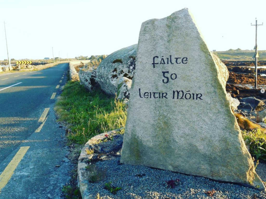 Holy well in Lettermore (kilannin Par.)Holy well · 1.2 mi
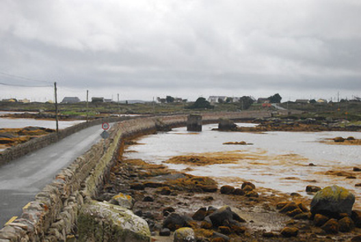 bridgebridge · 1.2 mi
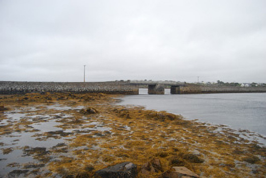 Droichead an Daingin [Bealadangan Bridge]bridge · 1.5 mi
 An Crompán MórBay · 1.8 mi
 Cnoc Leitir MóirMountain / peak · 2.1 mi
 Cnoc an PhobailMountain / peak · 2.4 mi
 Tóin na hAirdeHeadland · 2.7 mi
 Trá an Chaoráin MhóirBeach / strand · 3.0 mi
 Trá an DóilínBeach / strand · 3.1 mi
Other information
Photo: Credit not shown in the picture search · Rights wording not checked; contact us if this picture should be removed