What is recorded here
The first failed answer is still visible above the chat input. Read that failure, drop the missing part, and send the complete plain text without repeating the lesson or asking whether it is clear.
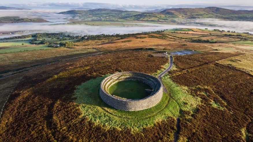
Internal diam. 22.3m-26.7m. A slightly raised oval area enclosed by a much defaced earthen bank which survives for two short stretches, one on the N and the other from the SW to the S, up to .5m in height. The interior is flat and level. Traces of cultivation ridges are visible running E-W across the site. The ringfort is situated on a low rise in an undulating landscape. The land about the site is wettish pasture.
The above description was derived from the 'Archaeological Survey of County Donegal. A description of the field antiquities of the County from the Mesolithic Period to the 17th century.' Compiled by: Brian Lacey with Eamon Cody, Claire Cotter, Judy Cuppage, Noel Dunne, Vincent Hurley, Celie O'Rahilly, Paul Walsh and Seán Ó Nualláin (Lifford: Donegal County Council, 1983). In certain instances the entries have been revised and updated.
Date of upload: 22 September 2008
The monument record does not grant public access. Check the route and ask the landowner before entering private land.
- What survives
- Recorded monument
Places near here
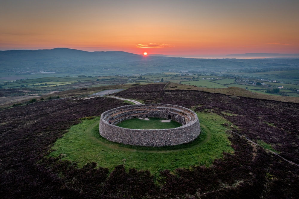 An Ghabhail Stone Ringfort and Man-made underground passageFairy fort / stone ringfort · 456 yd
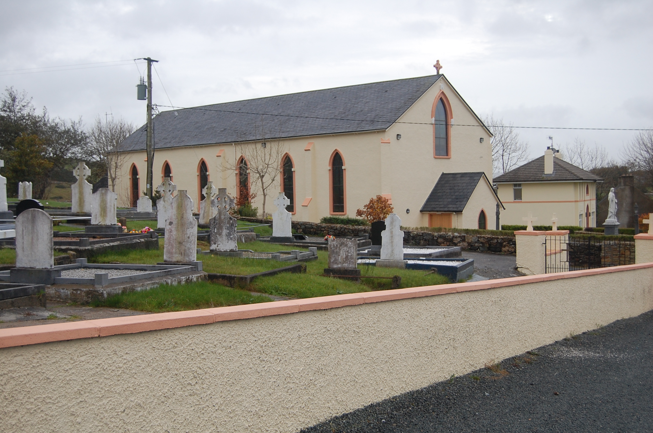 Saint Columba's Catholic Churchchurch/chapel · 986 yd
 AltarAltar · 1489 yd
 Church of St. Finian and St. Markchurch/chapel · 2.1 mi
 Loughsalt MountainMountain / peak · 2.2 mi
 Silver BirchSilver Birch · 2.2 mi
 Castle (Site of)Castle, unclassified · 2.2 mi
 BallykeeranForest recreation place · 2.9 mi
 Master Sword in StoneHeritage attraction · 3.0 mi
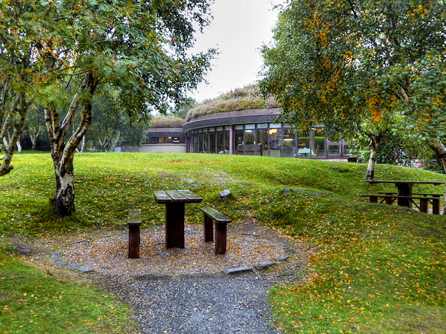 Glenveagh National Park Visitor CentreVisitor information · 4.9 mi
 Glebe House and GalleryHeritage attraction · 5.1 mi
 Stackarnagh Abbey GraveyardGraveyard · 6.4 mi
Other information
Photo: Credit not shown in the picture search · Rights wording not checked; contact us if this picture should be removed