
What is recorded here
No visible door, no broken stones, no human shape at all. The circle is complete on three sides and open toward the good grazing south. Whatever lived there stopped building walls people could judge. It still refuses to explain itself, which is more honest than most monuments that pretend to remember.
A grassed-over, collapsed stone wall encloses a sub-circular area except on the S side. The interior is level. It is situated on a rock spur close to the E shore of Sessiagh Lough. To the N there is marshy rocky land, to the S higher ground with good grazing.
The above description was derived from the 'Archaeological Survey of County Donegal. A description of the field antiquities of the County from the Mesolithic Period to the 17th century.' Compiled by: Brian Lacey with Eamon Cody, Claire Cotter, Judy Cuppage, Noel Dunne, Vincent Hurley, Celie O'Rahilly, Paul Walsh and Seán Ó Nualláin (Lifford: Donegal County Council, 1983). In certain instances the entries have been revised and updated.
Date of upload: 22 September 2008
The monument record does not grant public access. Check the route and ask the landowner before entering private land.
- What survives
- Recorded monument
Places near here
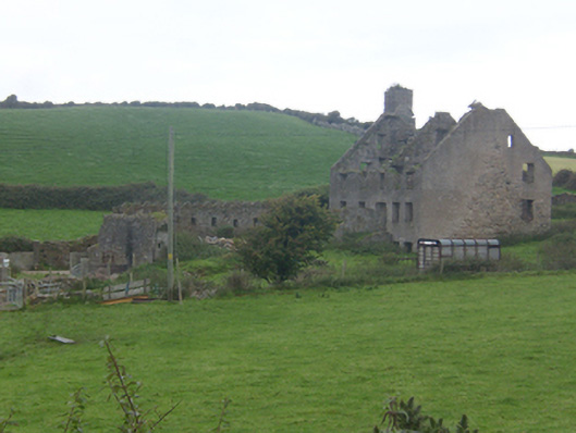 Faugher Housecastle/fortified house, house · 560 yd
 Former Knocknafaugher Stone EnclosureFairy fort / stone ringfort · 1168 yd
 Mc Swynes CastleCastle, unclassified · 1179 yd
 CashelFairy fort / stone ringfort · 1203 yd
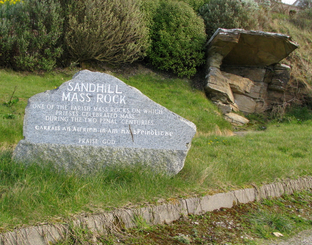 Sandhill Mass Rockshrine/oratory/grotto · 1276 yd
 The TunnelHeritage attraction · 1546 yd
 Breaghy HeadHeadland · 1.4 mi
 KillahoeyOfficial bathing water · 1.5 mi
 Ards Forest ParkForest recreation place · 1.5 mi
 Lockheed Hudson bomber 1942Memorial · 1.5 mi
 Kill Old Church GraveyardGraveyard · 1.6 mi
 Castle (Site of)Castle, unclassified · 2.0 mi
Other information
Photo: Credit not shown in the picture search · Rights wording not checked; contact us if this picture should be removed