What is recorded here
An Caiseal Ring-Cairn is a double row of standing stones on a wet Donegal slope, overlooking Cashel and Glencolumbkille. It may be a burial place or a forgotten hut, because a gap in the stones could be an entrance rather than damage. The land was reclaimed and the heather stripped back, exposing the circle after centuries under moss and rain. Whoever placed those stones looked out over the same valley, marking a life or a dead person in a world that no longer remembers their name.
Situated on NW facing slope of poorly drained moorland overlooking the village of Cashel/Glencolumbkille to the NW. In area of reclaimed bogland the remains of a circular area (diam. 7.05m E-W; 6.7m N-S) defined a double row of contiguous orthostats with evidence of cairn material (Wth 0.75m) between the inner and outer row of orthostats. Approximately 18 orthostats survive of the inner kerb with the height varying from 0.5m to 0.2m. The orthostats of the inner and outer kerb are best preserved at ENE where there is evidence of cairn material between the inner and outer kerbstones There is no clear evidence of an entrance feature which would argue against a hut site classification, although this classification cannot be definitely ruled out. However there is a gap (Wth 2.65m) in the row of orthostats at NE which may be the result of robbing or may mark an entrance feature. If this was an original entrance feature it would suggest that this kerbing belongs to a hut-circle rather than a ring-cairn. The poorly preserved remains suggest that this may be the remains of a possible ring-cairn that has been exposed as a result of land improvement works where the heather covered sod has been removed.
An Caiseal Ring-Cairn is a Neolithic ring cairn, dating to approximately 4000–2500 BCE. It is significant as part of a broader network of early megalithic monuments in the northwest of Ireland, reflecting the funerary and ritual practices of Neolithic communities.
The official description records surviving remains. Its missing or destroyed wording refers only to one part of this place or to a different nearby feature. The monument record does not grant public access. Check the route and ask the landowner before entering private land.
- What survives
- Visible or partial remains survive
Places near here
 AN CAISEAL Ring-cairnArchaeological place · 6 yd
 Teach Pobail Naomh Columbachurch/chapel · 528 yd
 Malin Beg Fairy FortFairy fort / earthen ringfort · 551 yd
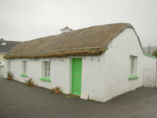 Teachín Tessiehouse · 738 yd
 Glencolmcille Old GraveyardGraveyard · 812 yd
 Trá an GhleannaBeach / strand · 1283 yd
 Glencolmcille Folk VillageMuseum · 1368 yd
 An Trá Bheag (Trá Bheag an Ghleanna)Beach / strand · 1648 yd
 Rossan PointHeadland · 3.0 mi
 Silver Strand ViewpointViewpoint · 3.5 mi
 Slieve LeagueMountain / peak · 3.6 mi
 Slieve League SE TopMountain / peak · 4.0 mi