What is recorded here
Located within a rath (MA075-001008) which is enclosed within a promontory fort (MA075-001001-). Two small circular features labelled ‘Altars’ are indicated on the 1920 OS 6-inch map, one (MA075-001011-) within a children’s burial ground in the SE quadrant of the rath, and one (MA075-001012-) to W of the burial ground. They are both listed in the SMR (1991) and the RMP (1997) as 'altar'. Westropp (1914, 315) described the leacht (MA075-001011-) within the children’s burial ground as ‘ a circular ‘altar’ of slabs 6 feet [1.8m] each way and barely 3 feet [0.9m] high, heaped with white quartz pebbles’ and he noted this leacht as ‘A similar leacht stands outside the Killeen 54 feet [c. 16m] westward.’
Compiled by: Jane O'Shaughnessy
Date of upload: 7 August 2015
The monument record does not grant public access. Check the route and ask the landowner before entering private land.
- What survives
- Recorded monument
Places near here
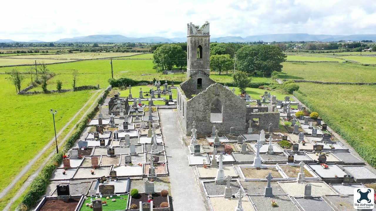 Church in Acaill BheagChurch · 8 yd
 Dun KilmorePromontory fort, coastal · 69 yd
 Old FortArchaeological place · 106 yd
 Acaill BheagIsland · 582 yd
 Achillbeg Island N TopMountain / peak · 651 yd
 Achillbeg Island S TopMountain / peak · 1035 yd
 Achillbeg LighthouseLighthouse · 1553 yd
 Kildavnet CastleCastle, tower house · 1.2 mi
 Caisle án GhráinneHeritage attraction · 1.2 mi
 Cabbage treeCabbage tree · 3.1 mi
 Memorial Thomas PattenMemorial · 4.3 mi
 Clare IslandIsland · 4.3 mi