
What is recorded here
Depicted on all editions of the OS 6-inch map as 'Altar' with 'Altar Well' located 45m to the north.
The monument record does not grant public access. Check the route and ask the landowner before entering private land.
- What survives
- Recorded monument
Places near here
 Altar WellHoly well · 51 yd
 Pollans Stone RingfortFairy fort / stone ringfort · 182 yd
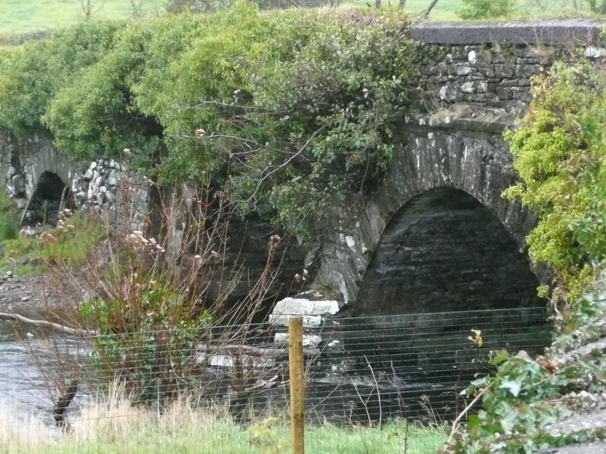 Cabra Bridgebridge · 797 yd
 Stackarnagh Abbey GraveyardGraveyard · 1501 yd
 Church in TempledouglasChurch · 1547 yd
 Gregory HillMountain / peak · 1.5 mi
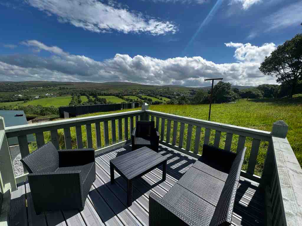 Church Hill ForestForest recreation place · 3.0 mi
 Glebe House and GalleryHeritage attraction · 3.1 mi
 European BeechEuropean Beech · 3.1 mi
 Battle of Scarrifholisbattle · 3.5 mi
 Site of Castle SollusCastle, unclassified · 3.5 mi
 Newmills Corn and Flax MillsHeritage attraction · 3.5 mi
Other information
Photo: Credit not shown in the picture search · Rights wording not checked; contact us if this picture should be removed