What is recorded here
The official Northern Ireland record identifies this as A.P. SITE - penannular cropmark. Recorded period: UNCERTAIN. The official map point was placed at the centre of the recorded archaeological site from the source map reference.
The monument record does not grant public access. Check the route and ask the landowner before entering private land.
- What survives
- Recorded monument
Places near here
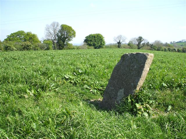 STANDING STONE in ClareviewSTANDING STONE · 890 yd
 Duck IslandIsland · 1103 yd
 Crevenish CastleHeritage attraction · 1146 yd
 FORTIFICATION?: STRONGBOW'S ISLAND in Strongbow IslandFORTIFICATION?: STRONGBOW'S ISLAND · 1173 yd
 Strongbow IslandIsland · 1181 yd
 RAF Castle Archdale Flying Boat Dock: DHR 00214:001 in RossmoreRAF Castle Archdale Flying Boat Dock: DHR 00214:001 · 1.8 mi
 Kesh BridgeBridge · 1.8 mi
 Old Castle ArchdaleCastle · 1.8 mi
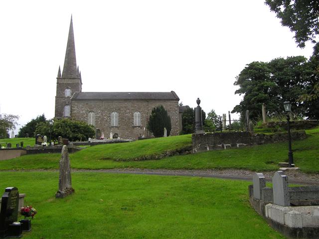 CHURCH (unlocated) in BallymacataggartCHURCH (unlocated) · 1.9 mi
 Dooraa HillMountain / peak · 2.9 mi
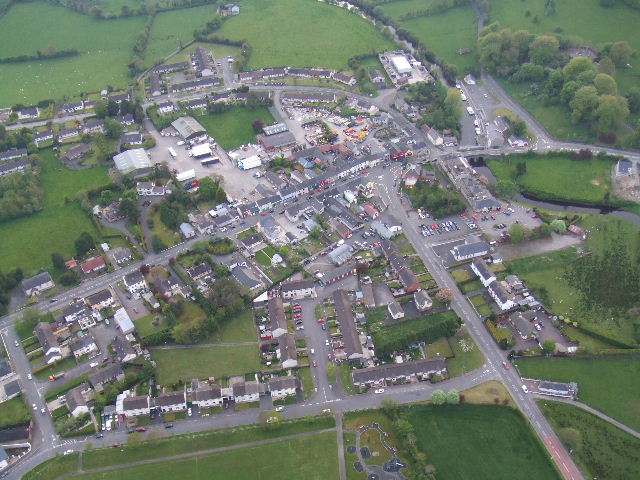 Kesh ForestForest · 3.4 mi
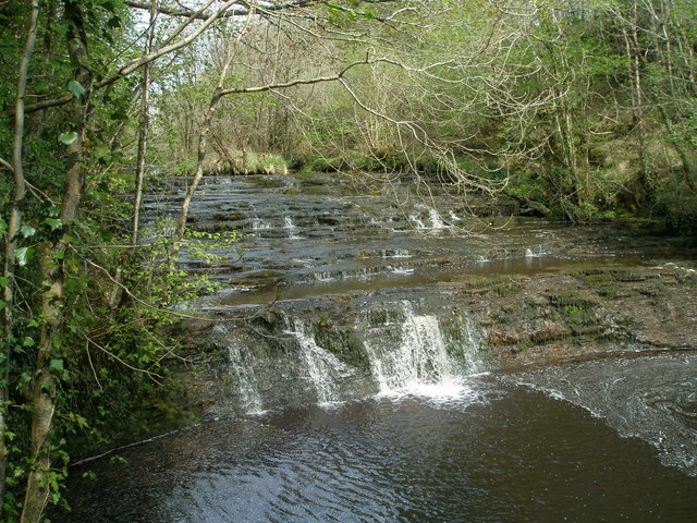 Drummoney WaterfallWaterfall · 3.6 mi