What is recorded here
The official Northern Ireland record identifies this as A.P Site - Linear Ring Ditch Cemetery. Recorded period: UNCERTAIN; PREHISTORIC. Recorded protection: Scheduled. The official map point was placed at the centre of the recorded archaeological site from the source map reference.
Linear ring ditch cemetery, likely dating to the Late Neolithic or Early Bronze Age. This type of monument is significant as it reflects early communal burial practices and social organisation in prehistoric Ireland.
The monument record does not grant public access. Check the route and ask the landowner before entering private land.
- What survives
- Recorded monument
Places near here
 A.P SiteA.P Site, Enclosure · 181 yd
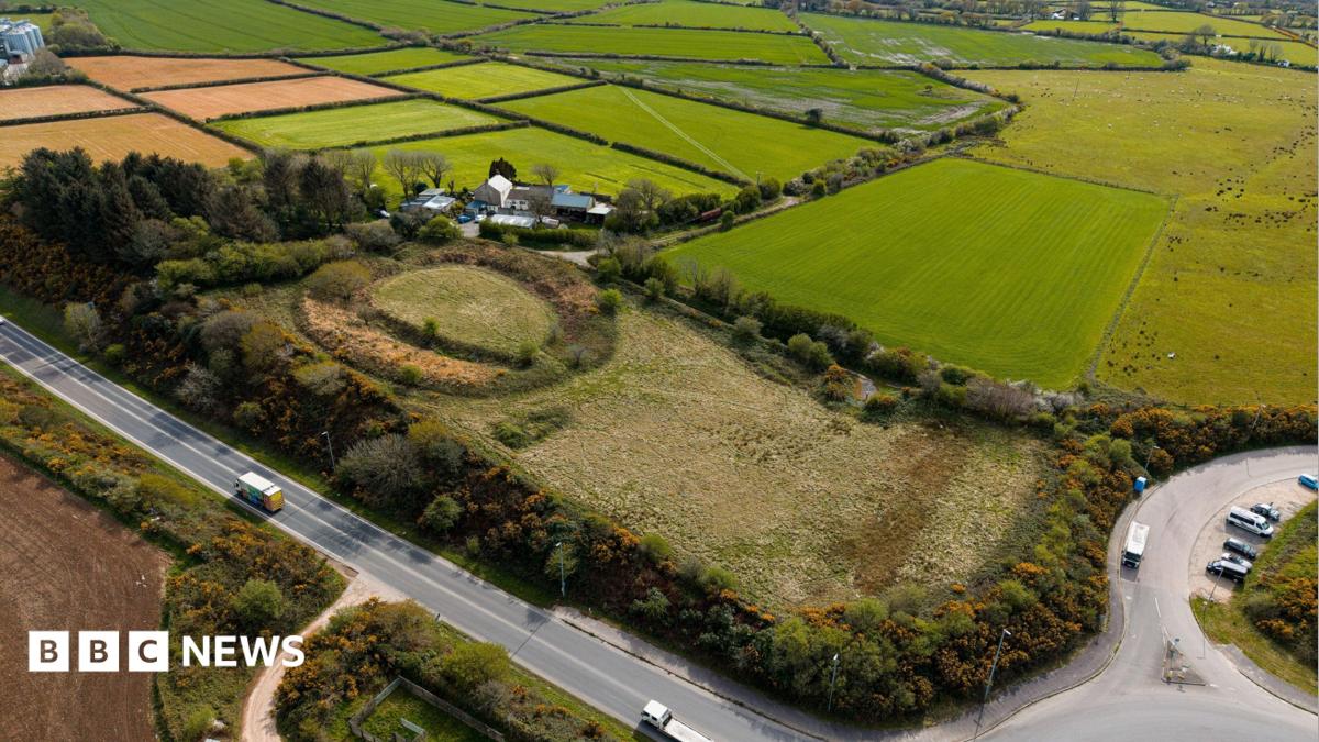 LARGE RITUAL ENCLOSURE; CIST BURIAL; CREMATION BURIALS etc. Part of Prehistoric Ritual and Funerary Landscape in BallynahattyLARGE RITUAL ENCLOSURE; CIST BURIAL; CREMATION BURIALS etc. Part of Prehistoric Ritual and Funerary Landscape · 190 yd
 Giants RingHeritage attraction · 272 yd
 Giant's Ring Circular WalkWalking route · 317 yd
 Ballycairn Presbyterian ChurchChurch · 842 yd
 MinnowburnVisitor information · 842 yd
_-_geograph.org.uk_-_3608963.jpg?width=1280) Shaw's BridgeBridge · 1341 yd
Shaw's BridgeBridge · 1341 yd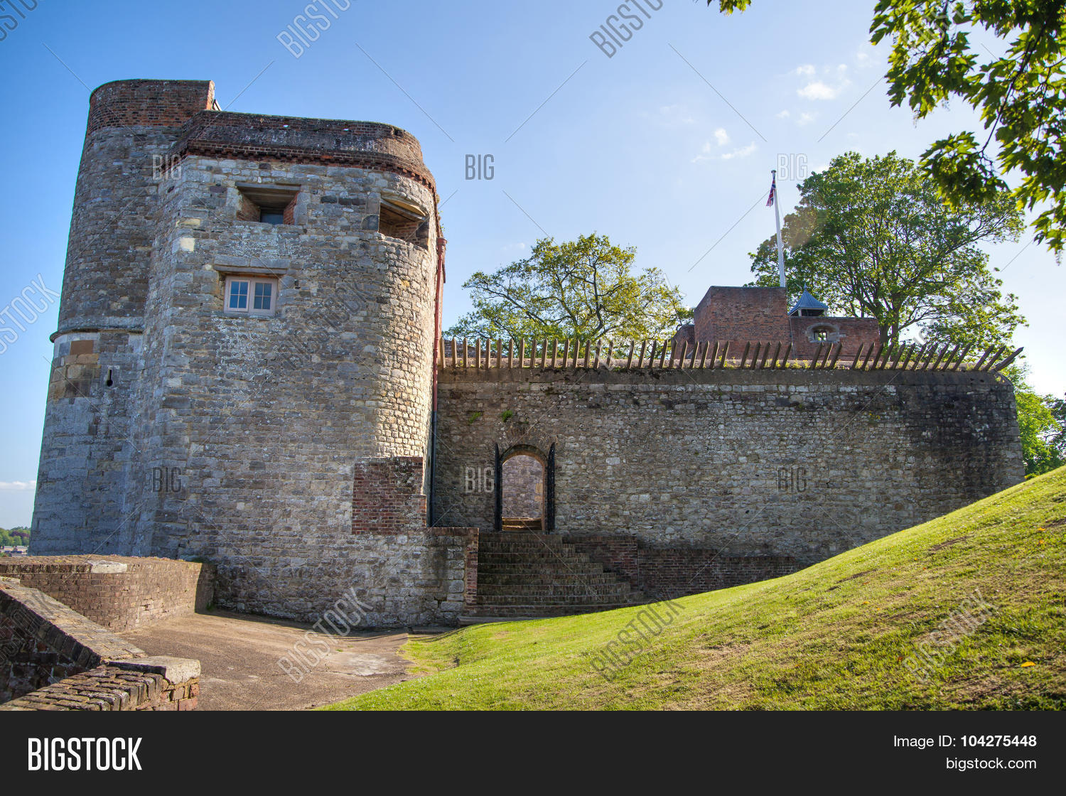 ARTILLERY FORT, FORTIFIED HOUSE & BAWN (site of) in Malone UpperARTILLERY FORT, FORTIFIED HOUSE & BAWN (site of) · 1474 yd
 Belvoir Oak WoodWood · 1.1 mi
 Highway to Health, CastlereaghWalking route · 1.3 mi
 Belvoir Park ForestForest · 1.4 mi
 Drumbo Round TowerHeritage attraction · 1.7 mi