What is recorded here
A graveyard and cropmark in County Down, Ireland, marks an A.P. SITE where buried life still shapes the soil above. The uncertainty of its dates does not diminish the clarity of its function: people died, were placed beneath the earth, and the land continued holding them. Rain, root pressure or differing soil composition may reveal the outline only at certain seasons, inviting witness rather than explanation.
The official Northern Ireland record identifies this as A.P. SITE - GRAVEYARD & cropmark. Recorded period: UNCERTAIN. The official map point was placed at the centre of the recorded archaeological site from the source map reference.
The monument record does not grant public access. Check the route and ask the landowner before entering private land.
- What survives
- Recorded monument
Places near here
 First Trust BankBank · 590 yd
 Kilmorey Arms HotelHotel · 620 yd
 Robert Hill Hanna VC - First World War HeroVisitor information · 818 yd
 RATH; reused as MEDIEVAL CHURCH and GRAVEYARD: KILKEEL or ST.COLMAN del MOURNE in KilkeelRATH; reused as MEDIEVAL CHURCH and GRAVEYARD: KILKEEL or ST.COLMAN del MOURNE · 932 yd
 PORTAL TOMB: THE CRAWTREE STONE in KilkeelPORTAL TOMB: THE CRAWTREE STONE · 1120 yd
 Hanna's Close WalkWalking route · 1.6 mi
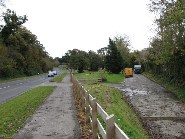 Whitewater Picnic Area & Disabled Fishing sitePicnic place · 2.0 mi
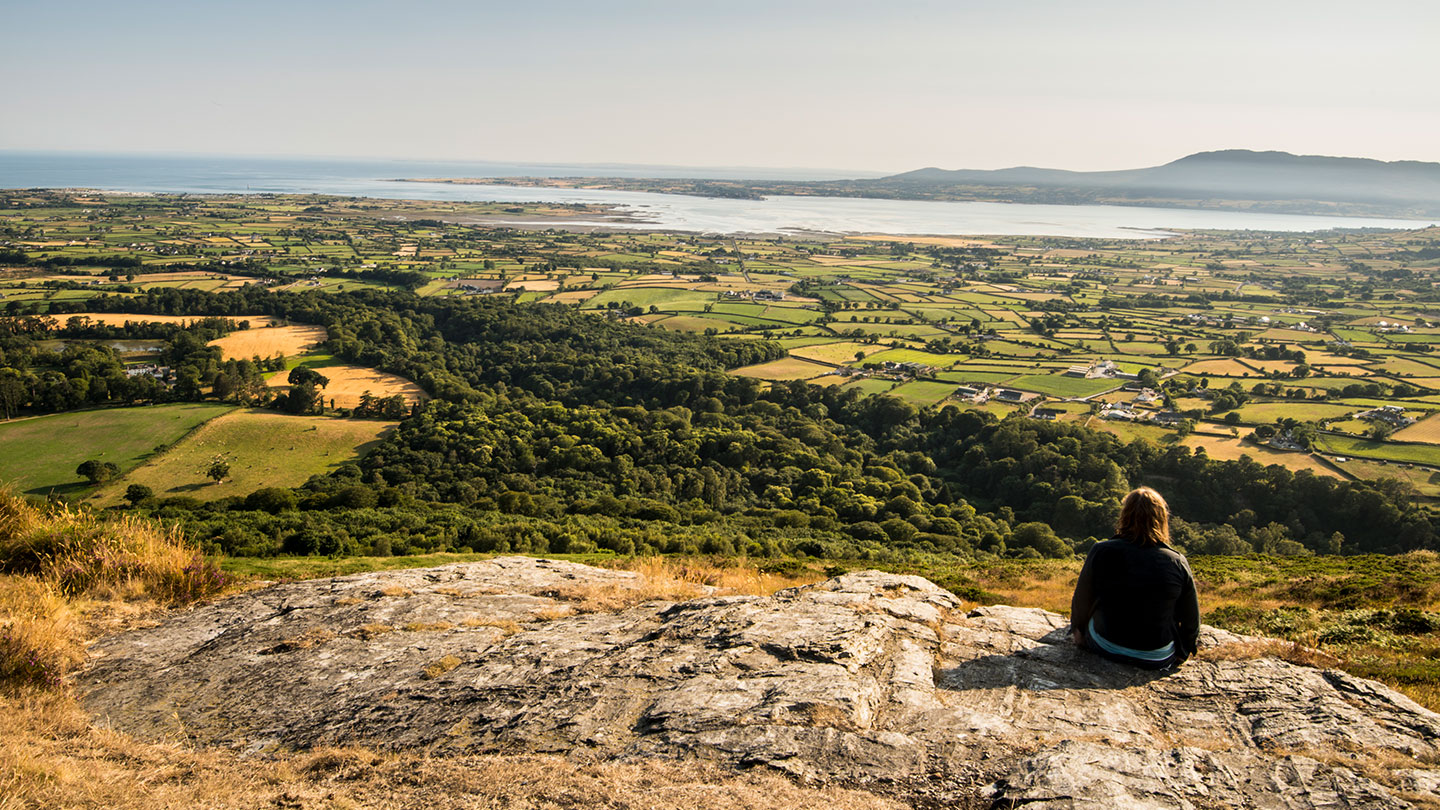 Mourne ParkWood · 2.1 mi
 KnockchreeMountain / peak · 2.4 mi
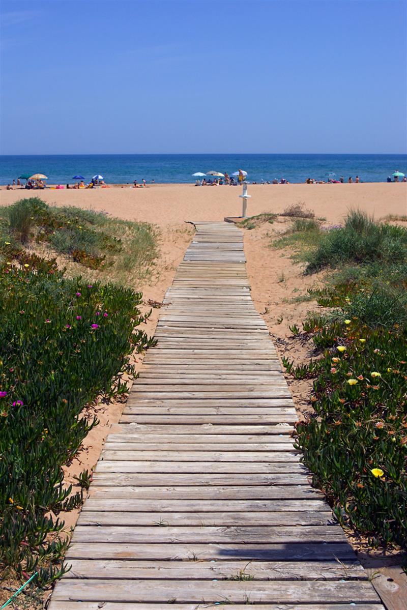 Beach - Costa del CeanfieldBeach / strand · 2.8 mi
 Cranfield PointHeadland · 3.3 mi
 CASTLE & WELL: GREENCASTLE in GreencastleCASTLE & WELL: GREENCASTLE · 3.5 mi