
What is recorded here
The official Northern Ireland record identifies this as A.P. SITE - enclosure?. Recorded period: UNCERTAIN. The official map point was placed at the centre of the recorded archaeological site from the source map reference.
A local fairy fort (ringfort/rath); wider significance not recorded.
The monument record does not grant public access. Check the route and ask the landowner before entering private land.
- What survives
- Recorded monument
Places near here
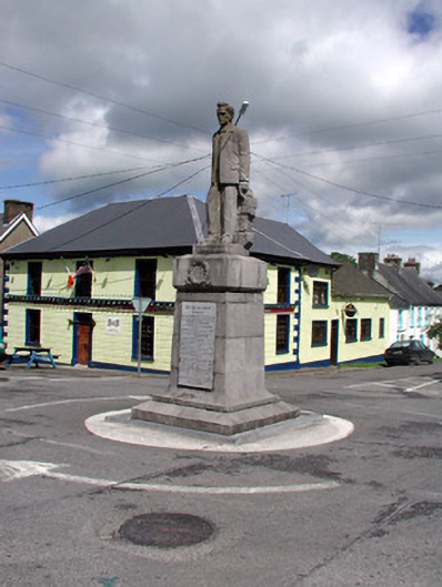 Seán MacDermott Monumentmonument · 1.2 mi
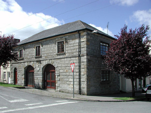 Kiltyclogher Courthousemarket house · 1.2 mi
 HOLY WELL: TOBERPATRICK in FrevaghHOLY WELL: TOBERPATRICK · 1.5 mi
 MONASTIC SITE WITH CROSS-SHAFT & BASE: KILCOO in FrevaghMONASTIC SITE WITH CROSS-SHAFT & BASE: KILCOO · 1.6 mi
 CarriganMountain / peak · 2.3 mi
 Crannoge IslandIslet · 2.7 mi
 InishteigeIsland · 3.1 mi
 Big DogMountain / peak · 3.1 mi
 Lough MacNean WalkWalking route · 4.6 mi
 Ross PointHeadland · 4.9 mi
 Port IslandCastle, Anglo-Norman masonry castle · 5.1 mi
 Ballintempo ForestForest · 5.2 mi
Other information
Photo: Credit not shown in the picture search · Rights wording not checked; contact us if this picture should be removed