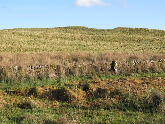
What is recorded here
The official Northern Ireland record identifies this as A.P. SITE - circular enclosure. Recorded period: UNCERTAIN. The official map point was placed at the centre of the recorded archaeological site from the source map reference.
A local fairy fort (ringfort/rath); wider significance not recorded.
The monument record does not grant public access. Check the route and ask the landowner before entering private land.
- What survives
- Recorded monument
Places near here
 CASTLE?: OLDSTONE HILL (unlocated) in OldstoneCASTLE?: OLDSTONE HILL (unlocated) · 263 yd
 A.P. SITEA.P. SITE, circular enclosure, possibly forming Rath Pair with Ant 050:152 · 340 yd
 ENCLOSURE in MuckamoreENCLOSURE · 708 yd
_-_geograph.org.uk_-_2357120.jpg?width=1280) Muckamore BridgeBridge · 1597 yd
Muckamore BridgeBridge · 1597 yd_-_geograph.org.uk_-_3215076.jpg?width=1280) First Presbyterian ChurchChurch · 1.7 mi
First Presbyterian ChurchChurch · 1.7 mi Rea's WoodWood · 1.7 mi
 C17th CASTLE: ANTRIM CASTLE in Town Parks (antrim)C17th CASTLE: ANTRIM CASTLE · 2.0 mi
 Garden Heritage ExhibitionMuseum · 2.2 mi
 2009 Massereene Barracks shootingterrorist attack · 2.5 mi
 Antrim BayBay · 3.0 mi
 Farr's BayBay · 4.9 mi
 Randalstown ForestForest · 5.3 mi
Other information
Photo: Credit not shown in the picture search · Rights wording not checked; contact us if this picture should be removed