What is recorded here
The official Northern Ireland record identifies this as A.P. SITE - circular enclosure. Recorded period: UNCERTAIN. The official map point was placed at the centre of the recorded archaeological site from the source map reference.
The monument record does not grant public access. Check the route and ask the landowner before entering private land.
- What survives
- Recorded monument
Places near here
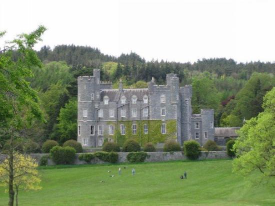 CROSS, formerly built into school, now at Castlewellan Forest Park in DrumadonnellCROSS, formerly built into school, now at Castlewellan Forest Park · 1284 yd
 ENCLOSURE in BallywardENCLOSURE · 1.0 mi
 ENCLOSUREENCLOSURE, rath · 1.7 mi
 Post OfficeHouse · 1.7 mi
 CHURCH & GRAVEYARD: DRUMGOOLAND in DeehommedCHURCH & GRAVEYARD: DRUMGOOLAND · 1.7 mi
 CASTLE & RATH reused as BAILEY: SEAFIN CASTLE; Magh Cobha; Moycove in SeafinCASTLE & RATH reused as BAILEY: SEAFIN CASTLE; Magh Cobha; Moycove · 1.8 mi
 The Moat PadWalking route · 2.4 mi
 The Brontë CentreVisitor information · 2.6 mi
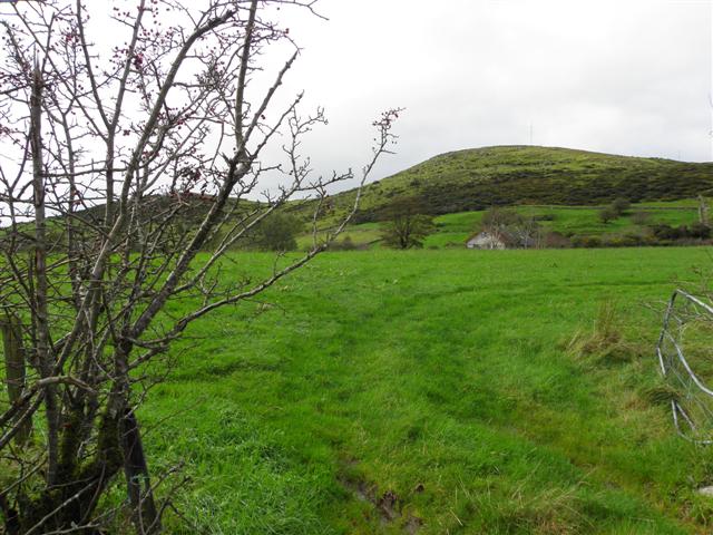 Deehommed MountainMountain / peak · 2.7 mi
 SlievenaboleyMountain / peak · 3.0 mi
 Kilcoo GraveyardWalking route · 3.4 mi
 TOWER-HOUSE: RATHFRILAND CASTLE in RossconorTOWER-HOUSE: RATHFRILAND CASTLE · 4.0 mi