What is recorded here
The official Northern Ireland record identifies this as A.P. SITE - circular cropmark. Recorded period: UNCERTAIN. The official map point was placed at the centre of the recorded archaeological site from the source map reference.
The monument record does not grant public access. Check the route and ask the landowner before entering private land.
- What survives
- Recorded monument
Places near here
 Moore LodgeHouse · 1434 yd
 Dunnaman Court TombArchaeological place · 1664 yd
 First Trust BankBank · 1.4 mi
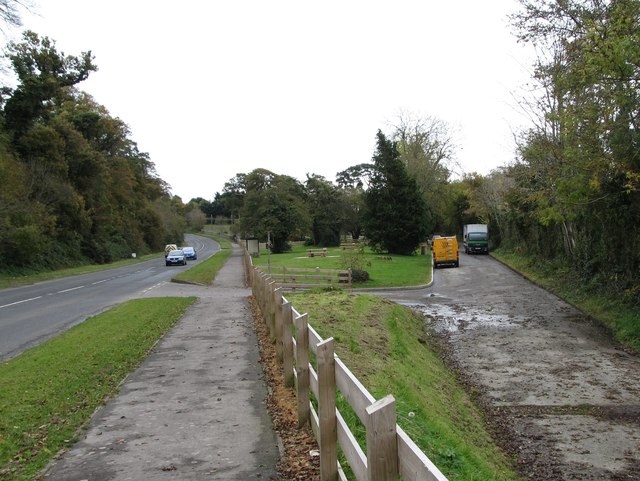 Whitewater Picnic Area & Disabled Fishing sitePicnic place · 1.4 mi
 Robert Hill Hanna VC - First World War HeroVisitor information · 1.5 mi
 ENCLOSURE: LISGARRON in Benagh UpperENCLOSURE: LISGARRON · 1.6 mi
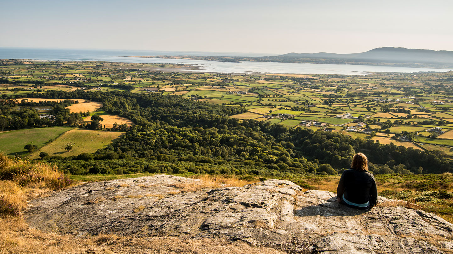 Mourne ParkWood · 1.8 mi
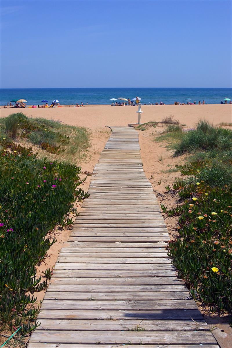 Beach - Costa del CeanfieldBeach / strand · 2.1 mi
 KnockchreeMountain / peak · 2.3 mi
 Cranfield PointHeadland · 2.4 mi
 CASTLE & WELL: GREENCASTLE in GreencastleCASTLE & WELL: GREENCASTLE · 2.5 mi
 GreencastleCastle · 2.5 mi