What is recorded here
Located in an undulating, low-lying landscape between a NW-SE drumlin ridge c. 300m to the NE and the lower foothills of Thur Mountain to the SW. This is a discontinuous, overgrown linear feature (L c. 600m) aligned NW-SE, consisting of a V-sectioned fosse (Wth of top 4.5-5m; D 0.4m) at the NW end to a flat-bottomed fosse (Wth of top 3.5m; D 0.45m; max. D 1m) at the SE end, flanked by earth and stone banks (Wth 2.8m; H 0.35m) on either side. It is continued c. 500m to the WNW by another section (LE008-012---) and its E end is c. 400m W of the N point of Lough Macnean Upper (dims c. 4.5km NW-SE; c. 1.5km NE-SW). (Kane 1909, 321).
The above description is derived from 'The Archaeological Inventory of County Leitrim' compiled by Michael J. Moore (Dublin: Stationery Office, 2003). In certain instances the entries have been revised and updated in the light of recent research.
Date of upload: 23 September 2008
The monument record does not grant public access. Check the route and ask the landowner before entering private land.
- What survives
- Recorded monument
Places near here
 Corracloona Court TombArchaeological place · 1006 yd
 Crannoge IslandIslet · 1117 yd
 InishteigeIsland · 1.1 mi
 Sweat Ho.Sweathouse · 1.8 mi
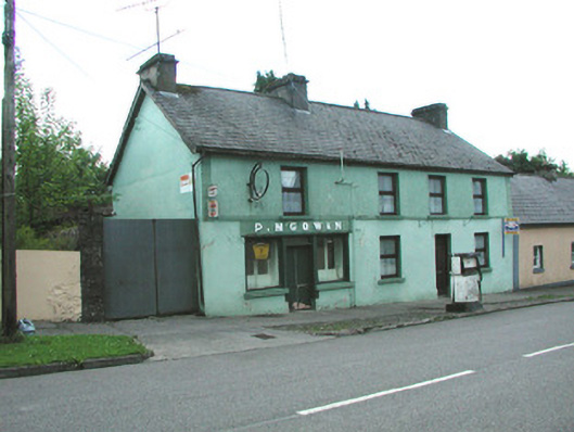 P. M'Gowanhouse · 2.3 mi
 Saint Patrick's Catholic Churchchurch/chapel · 2.3 mi
 Lough MacNean WalkWalking route · 2.5 mi
 Port IslandCastle, Anglo-Norman masonry castle · 3.0 mi
 CarriganMountain / peak · 3.0 mi
 Giant's GraveArchaeological place · 3.7 mi
 Dough MountainMountain / peak · 4.0 mi
 Ballintempo ForestForest · 4.2 mi