What is recorded here
The official Northern Ireland record identifies this as Workhouse. Recorded period: C19TH. The official map point was placed at the centre of the recorded archaeological site from the source map reference.
The monument record does not grant public access. Check the route and ask the landowner before entering private land.
- What survives
- Recorded monument
Places near here
 31 Ulsterville AvenueHouse · 345 yd
 Moravian ChurchChurch · 387 yd
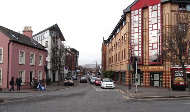 Sandy RowVisitor information · 413 yd
 Lord Kelvin's StatueHeritage attraction · 653 yd
 Queen's University BelfastNationally known place · 675 yd
 CHURCH SITE: FRIAR'S BUSH, CAPELLA DE KILPATRICK in Malone LowerCHURCH SITE: FRIAR'S BUSH, CAPELLA DE KILPATRICK · 825 yd
 The Crown BarVisitor information · 1010 yd
 CenotaphMonument · 1282 yd
 Rose & Crown Bar bombingbomb attack · 1342 yd
 FORTIFIED HOUSE & ?BAWN (unlocated): MOSES HILL'S HOUSE in Malone LowerFORTIFIED HOUSE & ?BAWN (unlocated): MOSES HILL'S HOUSE · 1.1 mi
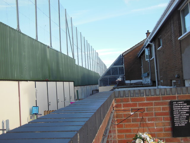 Clonard Martyrs MemorialMemorial · 1.1 mi
_-_geograph.org.uk_-_1508239.jpg?width=1280) 21 College GardensHouse - Terrace · 397 yd
21 College GardensHouse - Terrace · 397 yd