What is recorded here
Under the grass of Magherafelt town parks, workhouse burial grounds hold people the ledger never named. The nineteenth century dropped its poorest into that soil, then the town laid gardens above them and forgot. When children chase balls across those greens, they run past the dead who had nowhere else to go.
The official Northern Ireland record identifies this as Workhouse Burial Grounds. Recorded period: C19TH. The official map point was placed at the centre of the recorded archaeological site from the source map reference.
C19th workhouse burial grounds; associated with the Poor Law system and reflecting social history and public health conditions in 19th-century Ireland.
The monument record does not grant public access. Check the route and ask the landowner before entering private land.
- What survives
- Recorded monument
Places near here
 Ulster BankBank · 931 yd
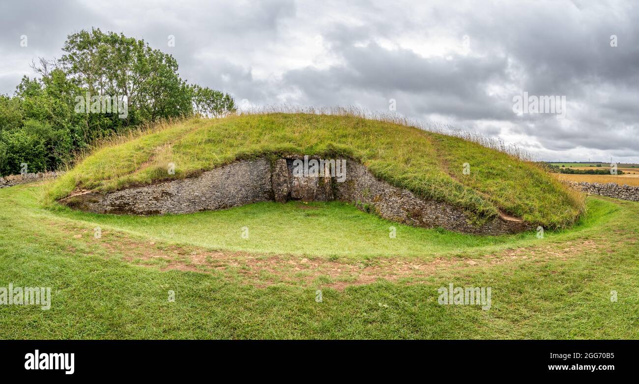 ENCLOSUREENCLOSURE, barrow? · 1340 yd
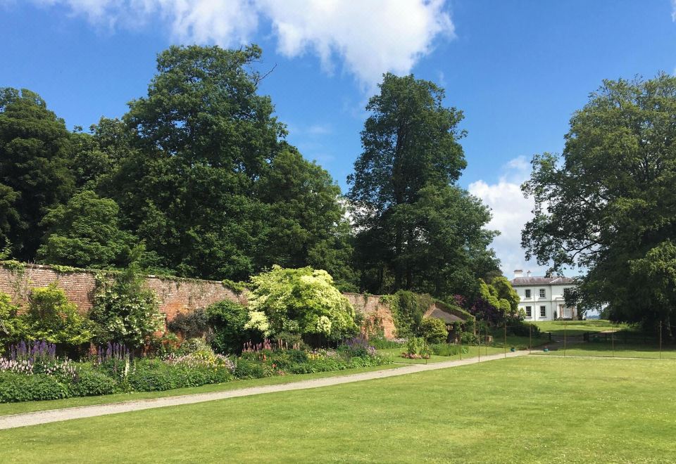 ENCLOSURE (O.S. memoir site, unlocated) in Mullaghboy; Town Parks OF MagherafeltENCLOSURE (O.S. memoir site, unlocated) · 1426 yd
 St. Comgall's ChurchChurch · 2.3 mi
 War MemorialMonument · 2.5 mi
 Bellaghy BawnMuseum · 4.8 mi
 PLANTATION CASTLE & BAWN on site of RATH: BELLAGHY BAWN in Old Town Deer ParkPLANTATION CASTLE & BAWN on site of RATH: BELLAGHY BAWN · 4.9 mi
 Slieve Gallion NE TopMountain / peak · 5.0 mi
 The Strand at Lough BegVisitor information · 5.2 mi
 Craigadick Picnic AreaPicnic place · 5.8 mi
 TOWER-HOUSE & BAWN: TOOME CASTLE in ToomeTOWER-HOUSE & BAWN: TOOME CASTLE · 6.0 mi
 Coagh ambushambush · 8.0 mi