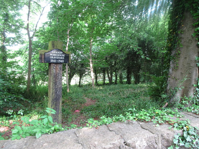
What is recorded here
Marianne pressed her palms together until the red marks faded. Rowen waited beside her, his shadow long on the stone. They had walked past three villages and one closed gate. The road ahead was empty, but the air felt watched. Marianne nodded once. They walked on.
The official Northern Ireland record identifies this as Workhouse Burial Ground. Recorded period: C19TH. The official map point was placed at the centre of the recorded archaeological site from the source map reference.
A 19th-century burial ground associated with a workhouse; significant as a reflection of social and welfare history in Northern Ireland.
The monument record does not grant public access. Check the route and ask the landowner before entering private land.
- What survives
- Recorded monument
Places near here
 St.Mark's ChurchChurch · 272 yd
 The Crozier HallHall · 442 yd
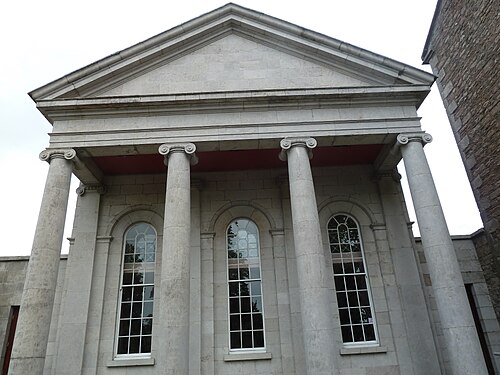 Armagh County MuseumMuseum · 513 yd
 Armagh Rail Disaster Memorial SculptureMemorial · 569 yd
 Armagh GaolHeritage attraction · 571 yd
 Battle of the Yellow FordMajor battlefield · 577 yd
 Crimean CannonMemorial · 664 yd
 Battle of ClontibretMajor battlefield · 895 yd
 MULTIPERIOD CHURCH SITE & GRAVEYARD with ROUND TOWER, BIVALLATE ENCLOSURE & LIBRARY, now CATHEDRAL: CHURCH of the ELECTIONS, ST. PATRICK'S CATHEDRAL in CorporationMULTIPERIOD CHURCH SITE & GRAVEYARD with ROUND TOWER, BIVALLATE ENCLOSURE & LIBRARY, now CATHEDRAL: CHURCH of the ELECTIONS, ST. PATRICK'S CATHEDRAL · 1049 yd
 ARMAGH FRANCISCAN FRIARY in Parkmore OR DemesneARMAGH FRANCISCAN FRIARY · 1080 yd
 Abbey StreetVisitor information · 1081 yd
 Cannon HillViewpoint · 2.9 mi
Other information
Photo: Eric Jones · Creative Commons Attribution-ShareAlike 2.0