What is recorded here
Situated at the crest of a slight slope down to the W on a fairly level landscape. Archaeological centre-line testing (04E0475) by E. Cotter (2004) prior to the construction of the M3 motorway identified a circular stone structure (excavations.ie: 2004:1320) and associated industrial activity that was fully excavated (E003040) by S. Elder (excavations.ie 2006:1626) as Rath Hill 1 in October-November 2006. The basal courses of a circular structure (int. diam. 4.4m E-W; 4.3m N-S; ext. diam. 6.4m E-W; 6.3m N-S) defined by a clay-bonded double-faced stone wall (Wth 1m) was recorded. There is an opening (Wth 1m) with an internal rebate marked by post-holes at NNW, and there are traces of another crudely blocked entrance at SSE. Deposits in the foundation trench included charred grains of oats, wheat and barley that returned a modern C14 date of 1670-1940 cal. AD. Deposits within the structure were rich in charcoal but a barbed and tanged arrowhead was amongst the medieval and post-medieval ceramics. A small area of charcoal (diam. 0.93m; D 0.03m) with iron slag produced a C14 date of 359-55 cal. BC. About 30m to the NW there was evidence of late medieval industrial activity which may be related. It consisted of a metaled surface (dims 3.92m x 2.08m) and a spread of burnt soil with metal slag. (Elder and O’Hara 2009)
See the attached plan from Piera (2020, fig. 7)
Compiled by: Michael Moore
Date of upload: 10 December 2021
The monument record does not grant public access. Check the route and ask the landowner before entering private land.
- What survives
- Recorded monument
Places near here
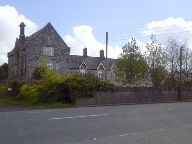 Dunshaughlin Union Workhouseworkhouse administration block · 898 yd
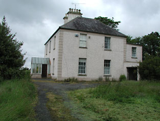 Seachnall Housefarm house · 1188 yd
 Enclosure in Johnstown (ratoath By., Dunshaughlin Par.)Enclosure · 1496 yd
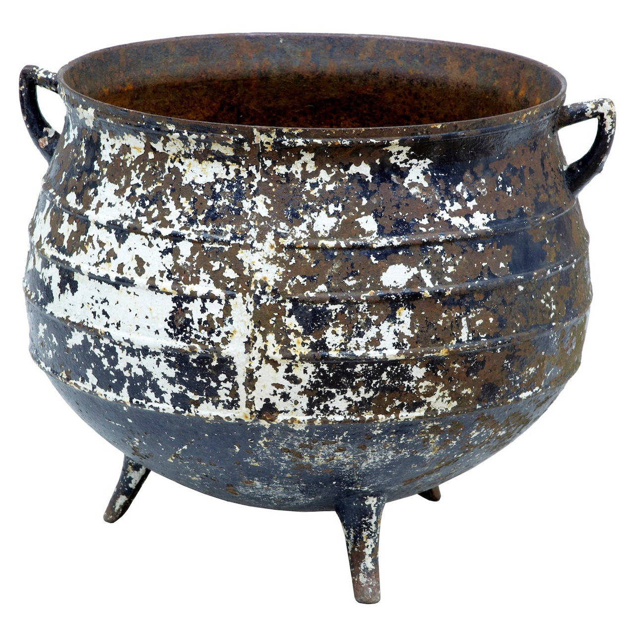 Famine PotMonument · 1639 yd
 Lismahon 1798 MemorialMonument · 2.3 mi
 Site of Old CastleCastle, unclassified · 3.4 mi
 Killeen CastleCastle, tower house · 3.6 mi
 Laurel WoodsWood · 4.4 mi
 Dunsany WoodWood · 4.4 mi
 1798 MemorialMemorial · 4.6 mi
 Emerald ParkHeritage attraction · 4.7 mi
 MullaghMountain / peak · 4.8 mi