What is recorded here
The National Monuments Record of Wales records Winch Fawr, Mynydd Aberdar as Level; Coal Workings; Ironstone Workings from the Post Medieval; 18th Century; 19th Century period. The saved point comes from the official national record. Inclusion does not by itself mean that the public may enter the place.
The historic-place record does not grant public access. Check current conditions and ownership before entering land or a building.
Places near here
 Level, N of Winch FawrLevel · 641 yd
 Mynydd AberdareMountain / peak · 937 yd
 Bryn Y GwyddelMountain / peak · 1413 yd
 Calfaria Chapel, Heolgerrig, Merthyr TydfilChurch, cross or graveyard · 1415 yd
 Calfaria, Heolgerrig, Merthyr Tudful; Calfaria, Heolgerrig, Merthyr Tydfil; Calfaria, Pant-y-Celyn Road, Penrheolgeryg, Heolgerrig, Ward 2Chapel · 1455 yd
 Mynydd Aberdare Parish Boundary Stone IBoundary Stone · 1531 yd
 Woodland off B4276Forest or wood · 1.1 mi
 Woodland Garage, Cefn-coed-y-cymmerForest or wood · 1.3 mi
 Castle Inn, Cefn-coed-y-cymmerCastle, fort or tower · 1.3 mi
 War Memorial, Cefn Coed y CymmerHeritage place · 1.3 mi
 Vaynor and Cefn Coed War MemorialMemorial · 1.3 mi
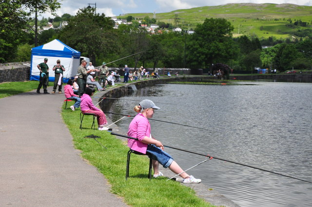 School Fishing Competition, Cyfarthfa Castle Lake - Merthyr TydfilCastle, fort or tower · 1.4 mi