_-_geograph.org.uk_-_3678343.jpg)
What is recorded here
The official Northern Ireland record identifies this as a Grade B2 listed building. Recorded construction date: 1880 - 1899. Current recorded use: Church.
The official record and map point do not grant access. Many historic buildings are privately owned; view them only from public ground unless the owner allows entry.
Places near here
 Battle of St Matthew'sMajor battlefield · 119 yd
 Rupert Stanley CollegeSchool · 254 yd
_-_geograph.org.uk_-_3678437.jpg?width=1280) St. Martin's Church of IrelandChurch · 279 yd
St. Martin's Church of IrelandChurch · 279 yd The Belfast BuoysVisitor information · 886 yd
 SSE ArenaHeritage attraction · 888 yd
 Hamilton Dock & SD NomadicVisitor information · 977 yd
 SS NomadicHeritage attraction · 982 yd
 Titanic TrailWalking route · 1137 yd
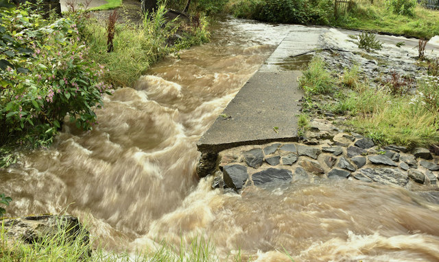 The HollowWood · 1446 yd
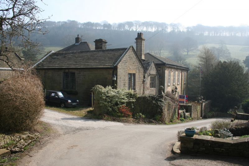 MEDIEVAL & EARLIER CHURCH SITE: CHAPEL OF THE FORD in Town ParksMEDIEVAL & EARLIER CHURCH SITE: CHAPEL OF THE FORD · 1469 yd
 1972 Donegall Street bombingbomb attack · 1700 yd
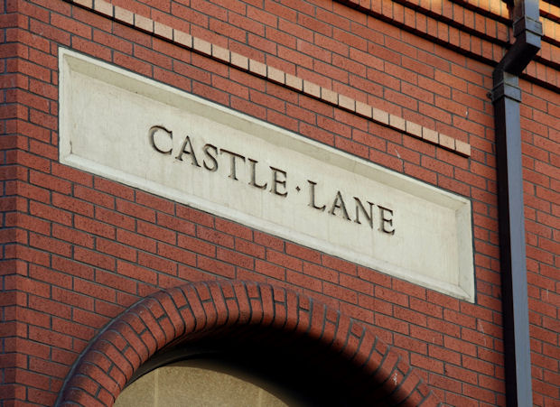 C17TH CASTLE: BELFAST CASTLE in Town ParksC17TH CASTLE: BELFAST CASTLE · 1731 yd
Other information
Photo: Albert Bridge · CC BY-SA 2.0