What is recorded here
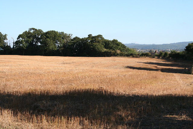
West Deane Way is recorded as a named walking route on the public map.
A mapped walking route does not guarantee present access or safe conditions. Check signs, closures and the weather before setting out.
Places near here
 Halse End FarmhouseListed building · 1129 yd
 Halse: St James� ChurchChurch, cross or graveyard · 1305 yd
 Cotford St Luke : Spike SculpturePublic sculpture · 1.3 mi
 Gauge Museum Bishops LydeardMuseum · 1.5 mi
 St. Michael's Hill, MilvertonMountain or hill · 1.9 mi
 Common DownVisitor information · 2.2 mi
 Higher Park Kiln CovertWood · 2.3 mi
 Knowle HillMountain / peak · 2.3 mi
 Old Milestone by Croford Hill, east of Croford, Wiveliscombe ParishMonument or public art · 2.4 mi
 Small cave at West Park CovertCave or cavern · 2.5 mi
 Bradford BridgeScheduled monument · 2.9 mi
 Norton Fitzwarren: Bronze Age enclosure, Iron Age hill fortCastle, fort or tower · 3.0 mi