What is recorded here
Crockkinnagoe Hill, 364m high, still blocks the western view, but the tomb itself points SSW-NNE across boggy ground 2km southeast of Lough Derg. Its gallery measures 2.3m, narrowing from 0.95m to 0.75m beneath a single 1.8m roofstone, while a leaning facade-stone and a distant rectangular stone heap suggest a settled place rather than a forgotten curiosity.
This tomb, not shown on any edition of the OS 6-inch map, is 2km SE of Lough Derg and c. 900m SSW of the court tomb (Dg. 118) in the same townland. It stands on sloping boggy ground and commands extensive views to the N and S. Crockkinnagoe Hill (1194 feet (c. 364m) OD) dominates the outlook to the E, and the view westward is restricted by a series of low hills. The usual W-E convention is not followed in this description.
The monument consists of part of a roofed gallery, 2.3m long, orientated SSW-NNE. It narrows from 0.95m wide at the S to 0.75m at the N. Approximately 1m beyond the S end of the gallery a stone stands at right angles to its western side. This seems to be a facade-stone. The structure stands in a low, grass-grown, oval mound measuring 8.5m by 6.4m and not more than 0.3m high.
Each side of the gallery is represented by two orthostats. The southern stone at the E side is 0.4m high and rises 0.15m over the adjoining stone. The southern stone at the W side is 0.4m high, and that next to it is 0.45m high. The roofstone rests on the sidestones. It measures 1.8m by 1.7m wide and is up to 0.4m thick. The facade-stone, which leans southward, would stand at least 0.6m high if upright.
Approximately 12m E of the tomb an ill-defined, NE-SW-aligned, rectangular heap of stones, c. 10m long and 2m wide, rises c. 0.5m clear of the boggy surface. Low upright stones form a facing along much of its perimeter. This is clearly an ancient feature. Approximately 5m to the E a gapped line of set stones seems to form part of an ancient field wall.
Anon. 1951, 346 ('Half a mile away is an interesting dolmen' seems to refer); Killanin and Duignan 1962, 396; Killanin and Duignan 1967, 399; SMR 1987, 101:9; Ó Nualláin 1989, 137; RMP 1995, 101:9.
The above description was published in the 'Survey of the Megalithic Tombs of Ireland. Volume VI, County Donegal.' Compiled by: Eamon Cody (Dublin: Stationery Office, 2002).
Date of upload: 22 September 2008
See linked document with details from Eamon Cody, Survey of the Megalithic Tombs of Ireland. Volume VI. County Donegal. (Dublin: Stationery Office, 2002)
Wedge tomb; dates to the Late Neolithic or Early Bronze Age. Its location and orientation suggest a possible ritual or funerary function within a broader prehistoric landscape.
The monument record does not grant public access. Check the route and ask the landowner before entering private land.
- What survives
- Recorded monument
Places near here
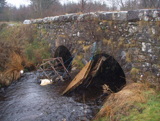 bridgebridge · 546 yd
 St. Dabogs ChairRitual site, holy/saint's stone · 1.1 mi
 Ritual siteRitual site, holy/saint's stone · 1.3 mi
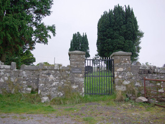 Templecarne Graveyardgraveyard/cemetery · 1.4 mi
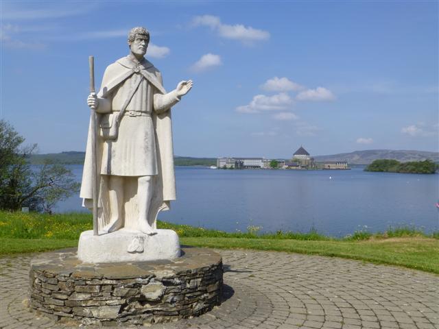 Patrick the PilgrimMemorial · 1.5 mi
 Boat IslandIsland · 1.5 mi
 Ash IslandIslet · 1.7 mi
 Grousehall ForestForest · 2.5 mi
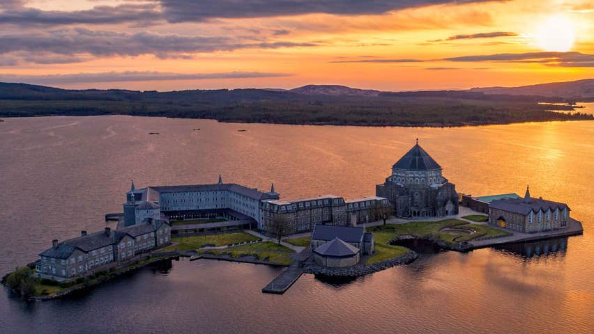 Lough Derg ForestForest · 2.6 mi
 Castle McGrathCastle · 4.0 mi
 Drummoney WaterfallWaterfall · 4.5 mi
 Derrin MountainMountain / peak · 5.4 mi