What is recorded here
Five point eight metres of chamber still stands in Skeagh, its split northern stone leaning like a tired shoulder. People buried their dead inside that narrow wedge before written memory, then neighbours took the capstones for field drainage, leaving the gallery open to rain and grass. What remained became a border marker for livestock and a forgotten room for the dead.
'The site consists of the remains of a gallery, 5.8m long, which is flanked at either side by outer walling and some remains of a cairn. The southern side of the gallery is represented by three orthostats, though a gap between the western and central orthostats would suggest that a fourth stone was present originally. The heights of the stones W-E are 0.6m, 0.7m and 0.9m. The northern side of the gallery is represented by three orthostats, though a fourth would also appear to be missing from between the western and central stones. The western orthostat has split vertically and the two sections are now 0.2m apart at the top. The heights of the northern orthostats W-E are 0.85m, 0.5m and 0.6m. The eastern end of the gallery is partly closed by a backstone, which touches the eastern orthostat on the south side and is 0.45m high, 0.6m wide and 0.27m thick. A second backstone, which could complete the closure of the rear of the gallery, may be concealed under a grassy bump. The outer walling of the northern side is represented by two stones, 0.3m and 0.4m high, while the outer walling on the southern side is represented by one stone, just 0.15m high, though the surrounding cairn material probably masks its original height.
The poorly defined grass-covered mound which would appear to represent the cairn is up to 11.5m long and local information suggests tht the capstones were removed from the monument some years ago and used in the drainage of the cleared field immediately to the north.'
The above description was published in R. Sherlock, Northwest Co. Cavan Survey. An archaeological survey of northwest Cavan: the other Burren (2007), p.52.
Date of upload: 20 March 2012
Wedge tomb, dating to the Late Neolithic or Early Bronze Age (c. 2500–1000 BCE). Its construction and orientation are typical of wedge tombs found in the Atlantic facade of Ireland, reflecting regional funerary practices and social organisation of the time.
The monument record does not grant public access. Check the route and ask the landowner before entering private land.
- What survives
- Recorded monument
Places near here
 LaghtadamelArchaeological place · 1081 yd
 PolltullyardCave · 1109 yd
 CavernsCave · 1201 yd
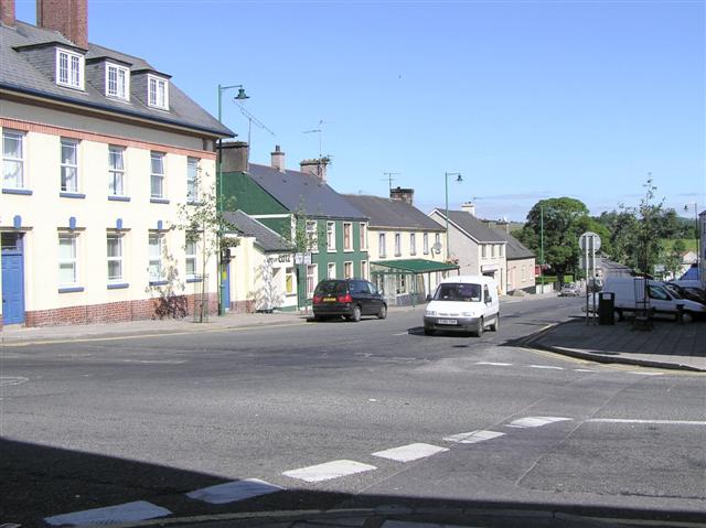 DerrennacoolaMountain / peak · 1217 yd
 Enclosure in GarvaghEnclosure · 1506 yd
 DerreenMountain / peak · 1.3 mi
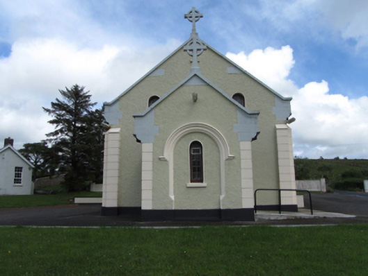 St Felim’s Roman Catholic Churchchurch/chapel · 1.3 mi
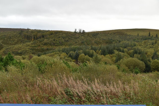 Cavan Burren ParkForest · 1.4 mi
 Boulder GraveyardArchaeological place · 1.5 mi
 Cavan BurrenHeritage attraction · 1.5 mi
 Marlbank ViewpointViewpoint · 1.9 mi
 MonastirCliff · 2.0 mi