
What is recorded here
No amount of time will touch the chamber where Marla and Des set out their maps, bread and plans. They walked in, touched the walls, and left behind every claim that needed proof. The chamber kept their shape and returned them unchanged, while the world outside lost an hour and half a vessel.
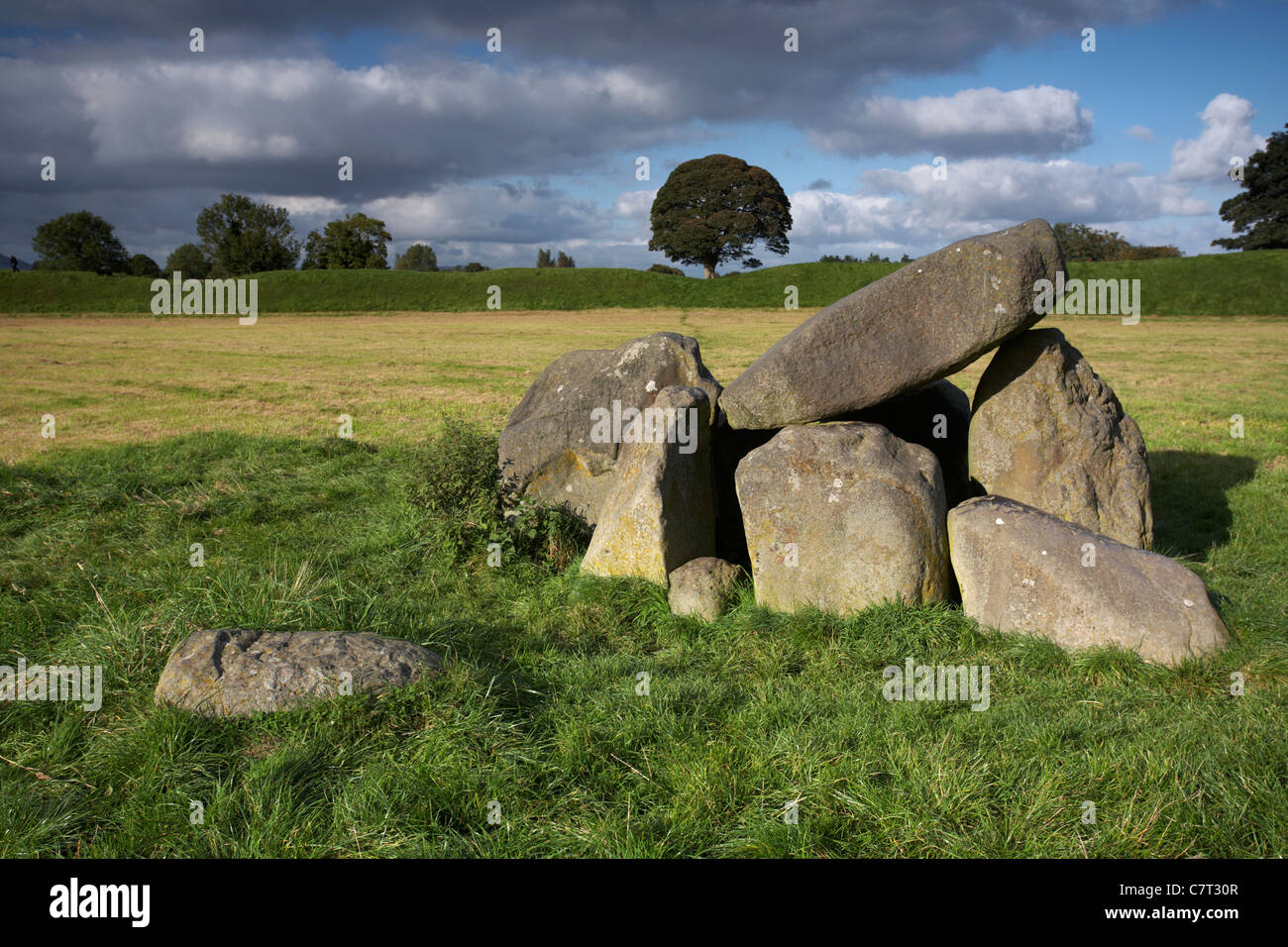
On NW-facing slope beside isolated outcrop of rock, at head of Sruhaunphadeen valley to NE of Douce Mountain. Comprises small gallery (L 2m; Wth 1.25m at W end, 0.75m at E) open to SW, covered by single roofstone, represented by three sidestones to N, two to S and inset backstone at E end. No indications of surrounding mound. (de Valera and Ó Nualláin 1982, 29, Co. 41)
The above description is derived from the published 'Archaeological Inventory of County Cork. Volume 3: Mid Cork' (Dublin: Stationery Office, 1997). In certain instances the entries have been revised and updated in the light of recent research.
Date of upload/revision: 14 January 2009
Wedge tomb, dating to the Late Neolithic or Early Bronze Age (c. 2500–1000 BCE). Its construction reflects a regional tradition of megalithic tombs in the Irish landscape, with architectural features typical of the transition from passage tombs to simpler chambered forms.
The monument record does not grant public access. Check the route and ask the landowner before entering private land.
- What survives
- Recorded monument
Places near here
 Wedge tomb in An ChlochbhuaileWedge tomb · 135 yd
 Giants GraveWedge tomb · 973 yd
 Shehy MoreMountain / peak · 1749 yd
 Douce MountainMountain / peak · 1.2 mi
 Quarry in GlanycarneyQuarry · 2.4 mi
 Coolmountain Schoolschool · 2.8 mi
 Gortnahoughtee Mass RockNamed rock · 3.6 mi
 Gougane BarraValley and heritage place · 4.1 mi
 Togher CastleCastle, tower house · 4.2 mi
 European ashEuropean ash · 4.3 mi
 St Finbarr's Pilgrim RouteWalking route · 4.5 mi
 Carriganass CastleCastle · 6.5 mi
Other information
Photo: Credit not shown in the picture search · Rights wording not checked; contact us if this picture should be removed