What is recorded here
The Down Survey (1655-6) map shows a mill at Kilmainham. This may be on the site of the flour mills and millrace marked on the 1st edition OS 6-inch map (1837). In 1566 Francis Asgarde received a lease of two mills by the bridge of Kilmainham on the river Liffey (Went 1954, 41-43). In 1738 the mills of Islandbridge together with the salmon weirs were advertised for sale (Went 1954, 45) and bought by Dublin Corporation. The immediate area is known as MillIsland.
The monument record does not grant public access. Check the route and ask the landowner before entering private land.
- What survives
- Recorded monument
Places near here
 MillMill, unclassified · 26 yd
 Water millWater mill, unclassified · 33 yd
 Islandbridge LodgeVisitor information · 371 yd
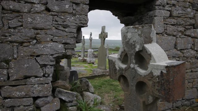 Burial in Unknown TownlandBurial · 384 yd
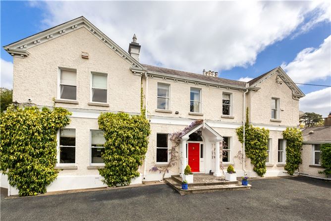 Chapelizod BypassMemorial · 400 yd
 St. Johns WellHoly well · 419 yd
 Executions of the leaders of the 1916 risingMemorial · 587 yd
 Kilmainham Jail MuseumMuseum · 602 yd
 Royal Hospital KilmainhamHeritage attraction · 619 yd
 Horse-chestnutHorse-chestnut · 727 yd
 Gairdín Foirmiúil Ospidéal Ríoga Chill MhaighneannVisitor information · 750 yd
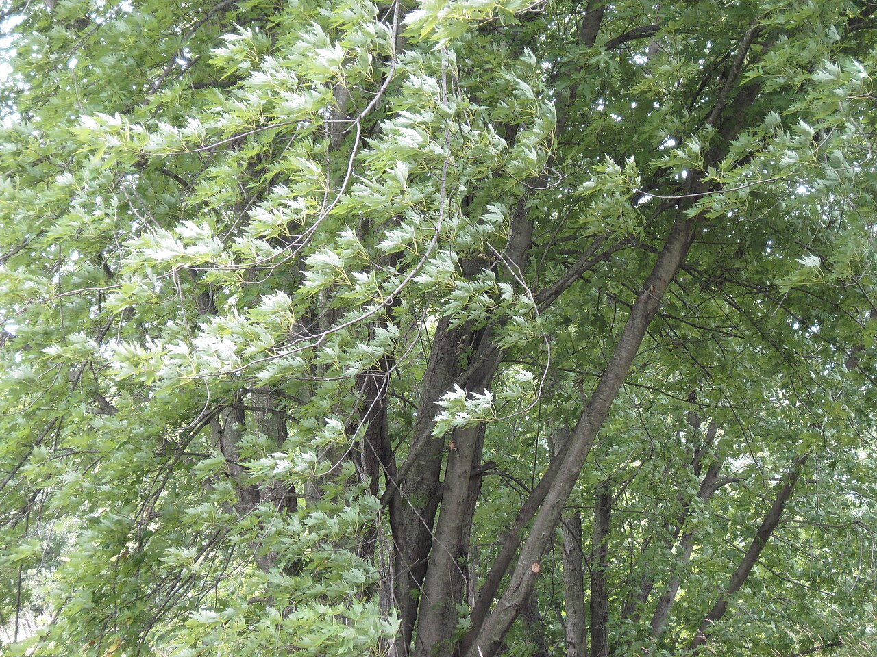 Silver mapleSilver maple · 760 yd