What is recorded here
According to the Civil Survey (1654-6) there 'stands a mill seate w[i]th some thatcht houses' in 'Tippary and Bohircrow' and the proprietor in 1640 was 'Derby Ryan of Solloghodmore Esqr Irish Papist' (Simington 1934, vol. 2, 37). This mill remains unlocated and which townland it was formerly located in is also unknown. It is not clear from the Civil Survey which townland or townlands were included in 'Tippary and Bohircrow' as the description 'sd. lands are bounded on the east by the quarter of Ballynamough on the North by the lands of Carranemore, on the west by the Abby of Tippary all in this parish and in the south by Cleynakeany in Cordangen Parish' (ibid.). The present townland of Bohercrow lies immediately NW of Tipperary town but is W of the abbey of Augustinian friars (TS067-004001-) in Tipperary town.
Compiled by: Jean Farrelly
Date of upload: 26 August 2011
The monument record does not grant public access. Check the route and ask the landowner before entering private land.
- What survives
- Recorded monument
Places near here
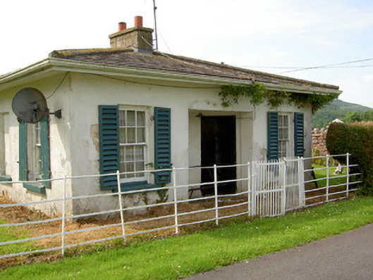 Arraghsleagate lodge · 361 yd
 Kilshane Churchchurch/chapel · 434 yd
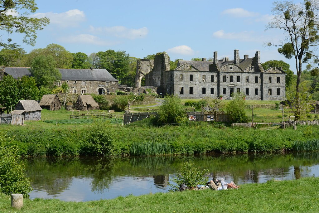 Enclosure in Lacken (cordangan Par.)Enclosure · 754 yd
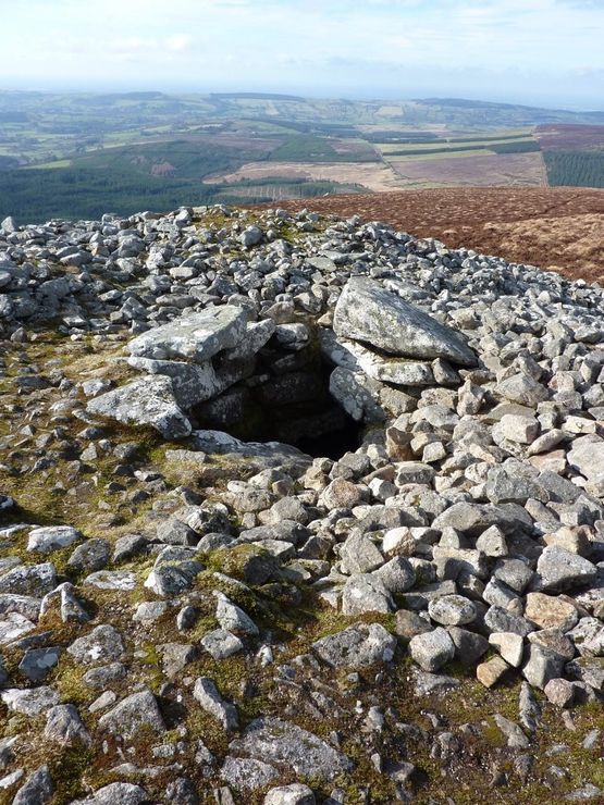 Site of Seefin CastleCastle, unclassified · 1035 yd
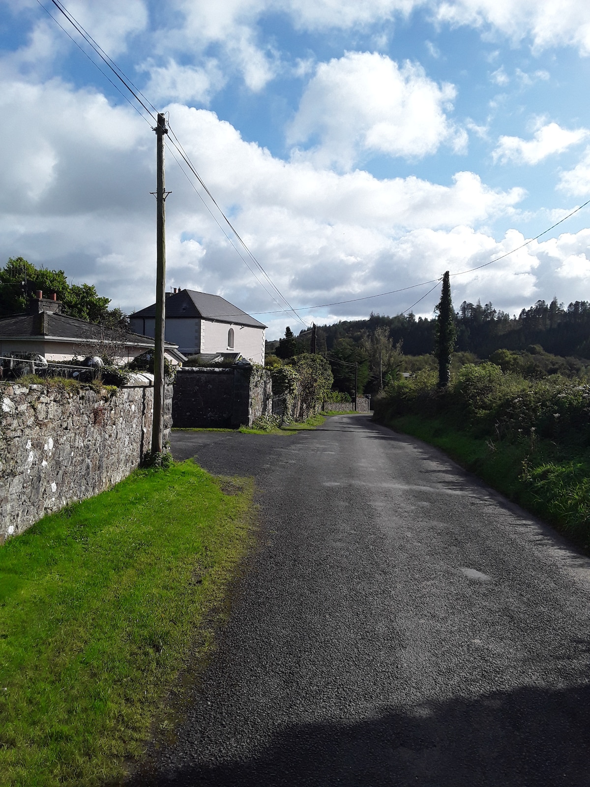 RathfaunEnclosure · 1426 yd
 IndicatedBawn · 1645 yd
 Bansha ForestForest · 1.0 mi
 I.R.A. 3rd. Tipperary Brigade MemorialMemorial · 1.8 mi
 European ashEuropean ash · 1.8 mi
 It's a long way to TippereryHeritage attraction · 2.2 mi
 The RockViewpoint · 2.3 mi
 The Maid of ErinMemorial · 2.3 mi