What is recorded here
A small rectangular structure is marked on the 1839 ed. of the OS 6-inch map outside the E angle of Rosslare fort (WX038-007001-) and described in gothic lettering as a watch house. It is described as in ruins on the 1903 ed. This tower would enable the Revenue officers and the pilots to see ships approaching the harbour at a greater distance, and would be part of the 18th century accoutrement of the fort. It is now washed away.
Compiled by: Michael Moore
Date of upload: 21 January, 2012
The monument record does not grant public access. Check the route and ask the landowner before entering private land.
- What survives
- Recorded monument
Places near here
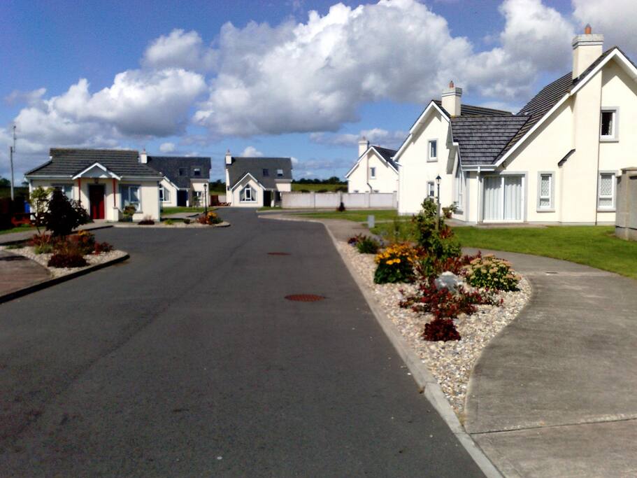 Site of Rosslare FortBastioned fort · 46 yd
 Raven Point Nature ReserveForest · 2.1 mi
 James Stevens Lifeboat MemorialMemorial · 2.7 mi
 Wexford Wildfowl ReserveHeritage attraction · 2.7 mi
 BirdlifeVisitor information · 2.7 mi
 Site of ChapelChurch · 3.0 mi
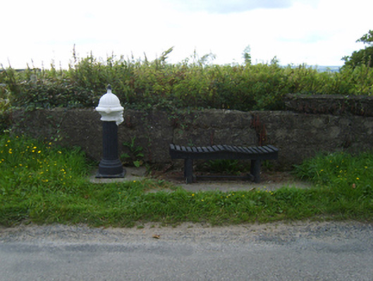 water pumpwater pump · 3.1 mi
 Rosslare Strand BeachBeach / strand · 3.2 mi
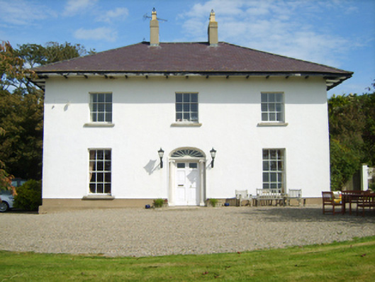 Curracloe Housefarm house · 3.3 mi
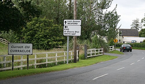 Curracloe BeachBeach / strand · 3.6 mi
 Lock Out GateMemorial · 3.8 mi
 Sack of Wexfordsiege · 3.8 mi