What is recorded here
Mairi’s red hair still caught light in the shallow pit when the men dragged her from the soil. They had buried her weeks before with a brass ring and a knife, expecting the land to keep her quiet. Instead the rain washed the mound flat and the dog buried her again beneath a new hill of dirt. Mairi laughed until she choked, then spat blood on the grass. The men stopped digging. They left the pit open and walked back to the longhouse with empty hands.
The official Northern Ireland record identifies this as Viking-age burial of Scandinavian woman. Recorded period: E.C./MED. The official map point was placed at the centre of the recorded archaeological site from the source map reference.
Viking-age burial, medieval period; this site is significant as it provides evidence of Scandinavian presence and burial practices in the region during the early medieval era.
The monument record does not grant public access. Check the route and ask the landowner before entering private land.
- What survives
- Recorded monument
Places near here
 Boathouse Visitor Centre & MuseumMuseum · 191 yd
 Boat HouseBoat House · 194 yd
 Kelp HouseRuins · 571 yd
 A.P. SITE: ENCLOSURE in CraigmacaganA.P. SITE: ENCLOSURE · 772 yd
 Enclosure in CraigmacaganEnclosure · 1158 yd
 Brackens CaveCave · 1200 yd
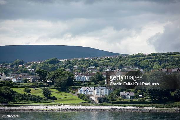 CarrickagileHeadland · 1291 yd
 Ballycarry Trail, RathlinWalking route · 1406 yd
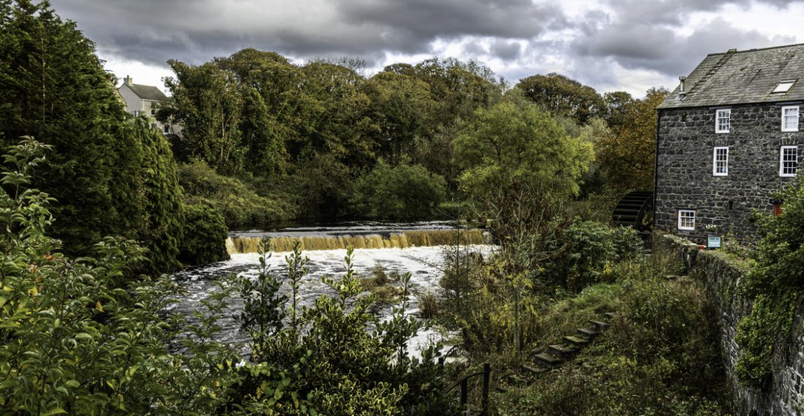 RuenascarriveHeadland · 1590 yd
 Rathlin CastleRuins · 1680 yd
 FORTIFICATION: BRUCE'S CASTLE in BallycarryFORTIFICATION: BRUCE'S CASTLE · 1694 yd
 Rathlin IslandIsland · 1.5 mi