What is recorded here
Gravel trucks broke the ridge in 1936, dragging forth an urn that had guarded cremated remains since perhaps 900 BC. Its chevrons, knobs and herringbone rim still shine beneath ancient encrustation, yet no mound, marker or ceremony survived to tell why. The dead person gave up a body, a name and a visible share of the world, leaving only clay, heat and forgetfulness behind.
An unprotected cremation, found in a gravel ridge in 1936, was set on a flat stone and covered with an elaborately decorated encrusted urn (JRSAI 1946, 210-12).
Discovered in a small gravel ridge in 1936 approx. 72 cm below the surface a local farmer uncovered an inverted urn covering a cremated burial. It is an encrusted urn measuring 34cm in height and 34 cm in diameter, highly decorated with raised and curved chevrons with notched ornament, rounded knobs, oval knobs and vertical bars. The base is hexagonal in shape (diam 10 cm). Five lines of herringbone pattern decorate the inside of the rim. It possibly dates to 900 - 600 B.C. (Roe H.M. 1946, 210-212). The urn rested on a small flat stone and no attempt had been made to protect the urn which was placed in a pit and had not been marked by a mound or cairn. There was no surface indication of this burial prior to quarrying. The urn is now in the safe keeping of the National Museum of Ireland.
The above description is derived from the published 'Archaeological Inventory of County Laois' (Dublin Stationery Office, 1995) compiled by P. David Sweetman, Olive Alcock and Bernie Moran. In certain instances the entries have been revised and updated in the light of recent research.
Date of upload: 17 December 2007
A Neolithic urn burial, dating to approximately 2500–2000 BCE, reflecting early funerary practices involving cremation and the use of decorated pottery. Its significance lies in the elaboration of the urn, indicating social or ritual importance in the community.
The monument record does not grant public access. Check the route and ask the landowner before entering private land.
- What survives
- Recorded monument
Places near here
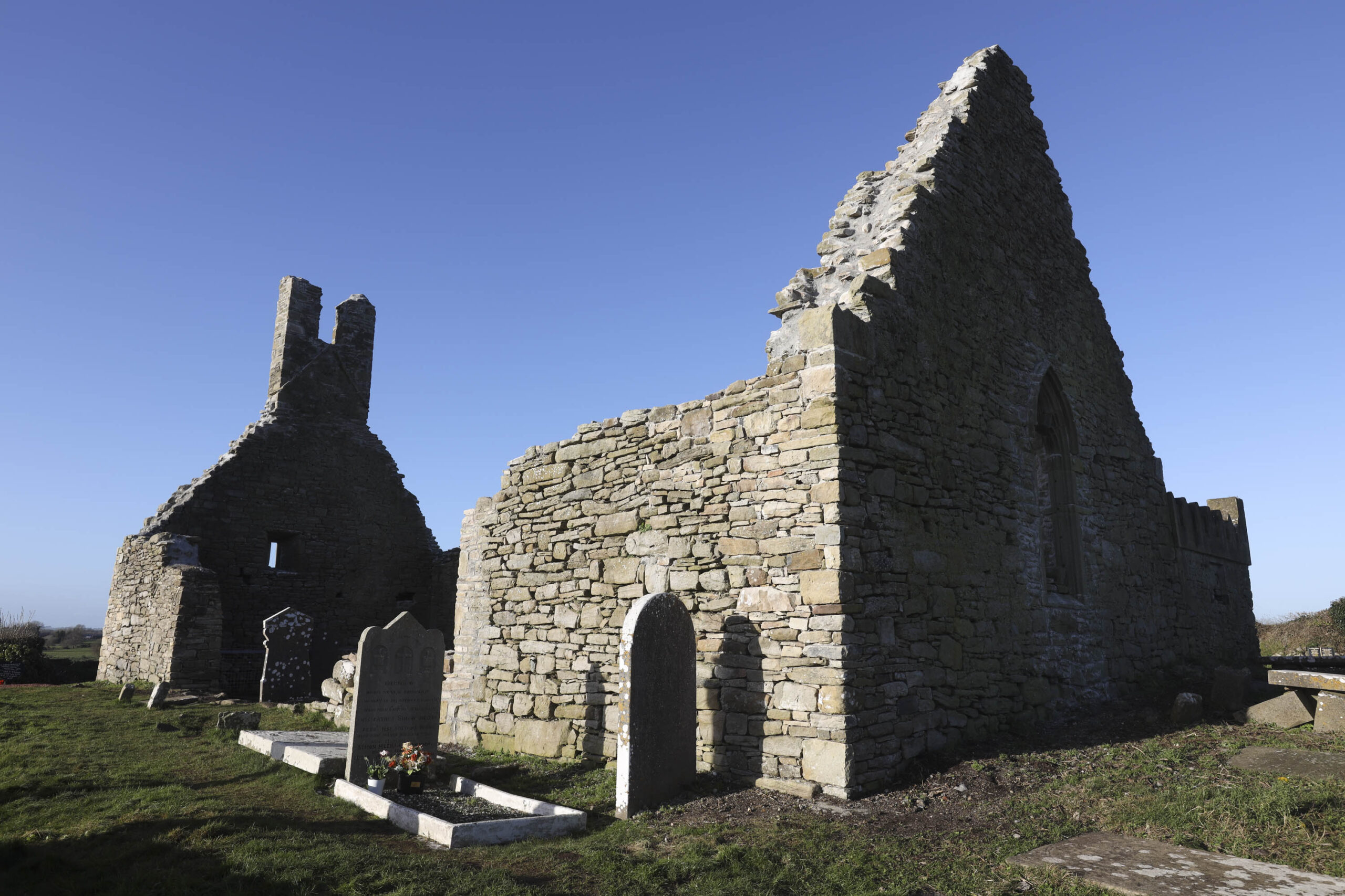 Church in Camcloon (upperwoods By.)Church · 258 yd
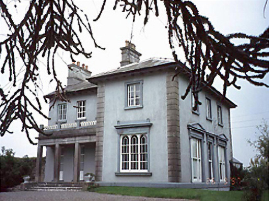 Shanahoe Househouse · 887 yd
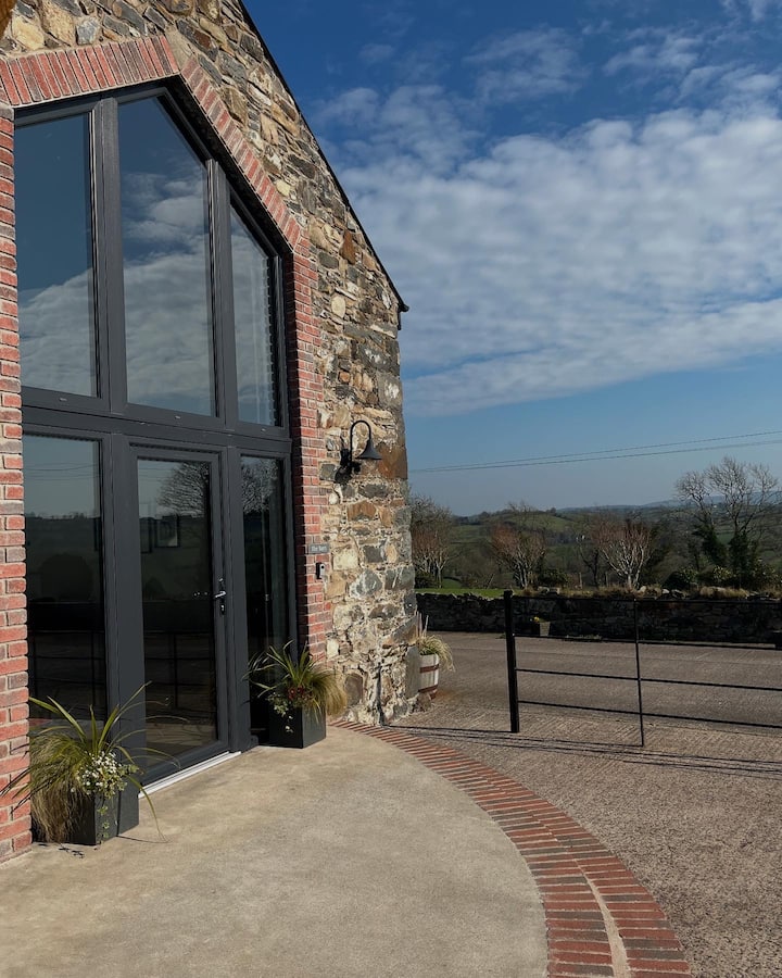 Enclosure in Shanahoe,springmountEnclosure · 1159 yd
 Enclosure in KilleanyEnclosure · 1723 yd
 Killeany Castle (ruins)Castle · 1.3 mi
 Sweet ChestnutSweet Chestnut · 1.7 mi
 Scotch RathHouse, fortified house · 1.9 mi
 Sitka SpruceSitka Spruce · 2.5 mi
 Abbeyleix Heritage CentreMuseum · 2.8 mi
 Knocknamoe HouseMemorial · 2.9 mi
 Heywood GardensHeritage attraction · 5.5 mi
 1798 MonumentMemorial · 5.7 mi