What is recorded here
Situated on a shelf on the E side of Carrickshawn Hill. There were local reports of the discovery of an urn, similar to that at (WX039-043----), made c. 1890 (Ó Ríordáin 1936, 187). A geophysical survey (20R0066) by J. M. Leigh of a small area(dims c. 60m x c. 40m) c. 75m to the SE at the closest point produced evidence of possible archaeological features, but archaeological testing (20E0242) by C. McLoughlin failed to produce any evidence of archaeological features (McLoughlin 2020).
Compiled by: Michael Moore
Date of upload: 14 January, 2013
Amended: 9 November 2022
Urn burial; likely dates to the Early Bronze Age. Its significance lies in its potential to provide insights into funerary practices and material culture of early Irish communities.
The monument record does not grant public access. Check the route and ask the landowner before entering private land.
- What survives
- Recorded monument
Places near here
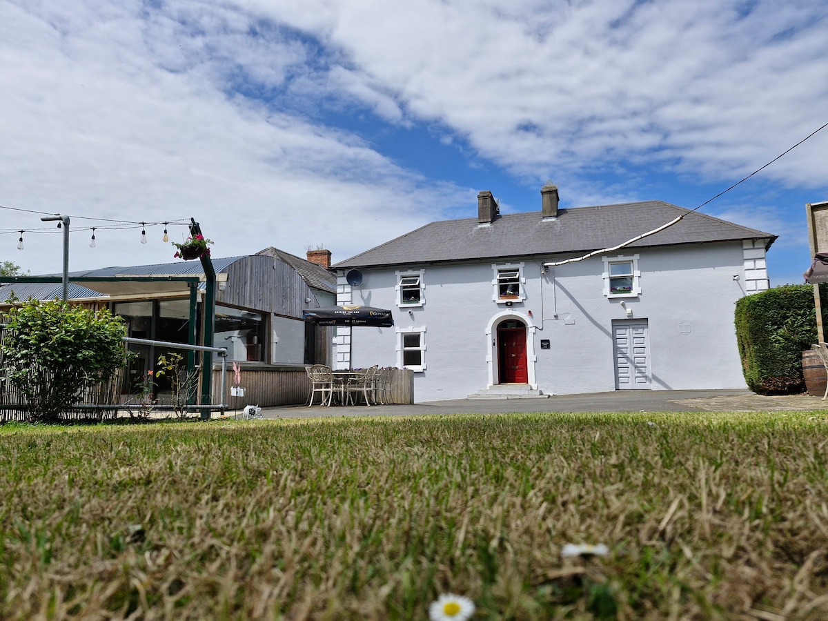 Embanked enclosureFairy fort / earthen ringfort · 426 yd
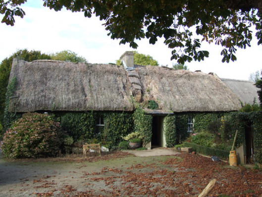 farm housefarm house · 622 yd
 Fulacht Fian (Site of)Fulacht fia · 700 yd
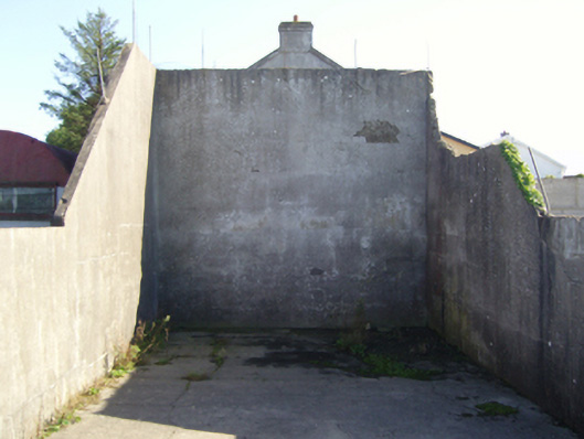 handball alleyhandball alley · 1076 yd
 Tinnock RockNamed rock · 1350 yd
 Campile WWII Bombing MemorialMemorial · 1419 yd
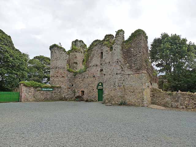 Dunbrody CastleCastle · 1.1 mi
 Dunbrody Abbey Visitor CentreHeritage attraction · 1.1 mi
 Dunbrody Abbey Hedge MazeHeritage attraction · 1.1 mi
 Castle (in ruins)Castle, unclassified · 1.4 mi
 Nook BayBay · 2.0 mi
 Common WhitebeamCommon Whitebeam · 2.3 mi