What is recorded here
Beneath Carrickfergus, walls and pits wait inside a forgotten urban shape. They may stretch back through the medieval age, though post-medieval hands certainly shaped them. The town above has buried the boundary between then and now, forcing every assumption about time to waver.
The official Northern Ireland record identifies this as Urban occupation site consisting of walls, ditch and pits (Post-medieval & possibly medieval). Recorded period: POST-MED. The official map point was placed at the centre of the recorded archaeological site from the source map reference.
The monument record does not grant public access. Check the route and ask the landowner before entering private land.
- What survives
- Recorded monument
Places near here
_-_geograph.org.uk_-_3549028.jpg?width=1280) Kelly's Coal OfficeOffice · 33 yd
Kelly's Coal OfficeOffice · 33 yd King William III MonumentMonument · 103 yd
 MEDIEVAL PARISH CHURCH, POST-MED. & MODERN CHURCH & GRAVEYARD: ST NICHOLAS' CHURCH, ST NICHOLAS OF CRAGFERGUS in CarrickfergusMEDIEVAL PARISH CHURCH, POST-MED. & MODERN CHURCH & GRAVEYARD: ST NICHOLAS' CHURCH, ST NICHOLAS OF CRAGFERGUS · 131 yd
 St. Nicholas' Church of Ireland ChurchChurch · 136 yd
 Battle of Carrickfergus (1760)Major battlefield · 174 yd
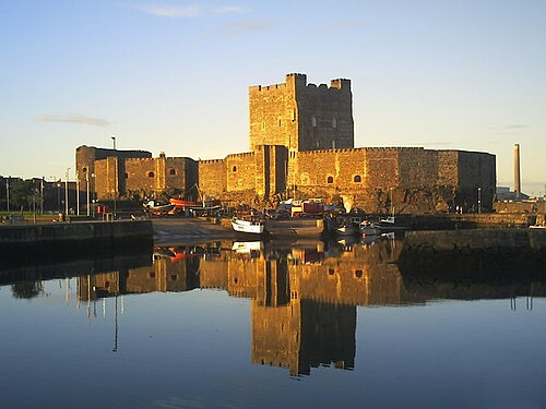 Carrickfergus CastleCastle · 177 yd
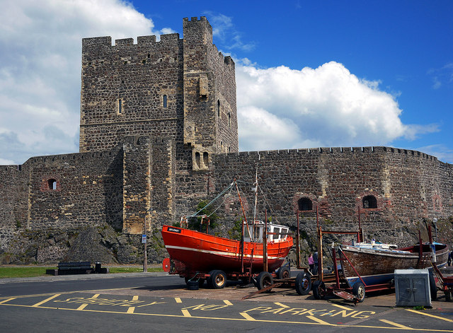 CARRICKFERGUS CASTLE in CarrickfergusCARRICKFERGUS CASTLE · 181 yd
 Battle of Carrickfergus (1597)Major battlefield · 215 yd
 Carrickfergus MuseumMuseum · 350 yd
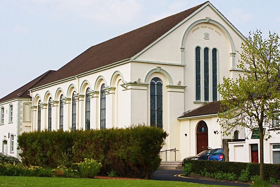 FORTIFIED HOUSE built on FRANCISCAN FRIARY: JOYMOUNT in CarrickfergusFORTIFIED HOUSE built on FRANCISCAN FRIARY: JOYMOUNT · 362 yd
 ENCLOSURE in Carrickfergus; East Central WardENCLOSURE · 551 yd
 US RangersMemorial · 624 yd