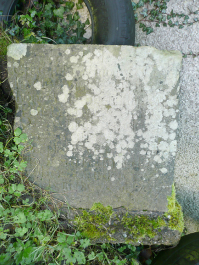
What is recorded here
Inscribed stone feature\monument dated 1797, comprising a stone slab (on square-plan) inscribed to one face. The inscription now indecipherable (on site) apart from date ‘1797’ to lower section. Evidence of concrete bedding to base. Now uprooted/moved and now lies abandoned alongside discarded items of farm equipment adjacent to a Georgian house (see 40833008) and a short distance to the north-east of the former Church of Ireland bishop’s palace (see 40833005). Located within former Raphoe Demesne to the south-east of the Diamond, Raphoe.
This simple stone monument is an interesting, if largely neglected, feature located close to the former Church of Ireland’s bishop’s palace (see 40833005). Its original function is not known and the inscription is now indecipherable (on site) apart from the date ‘1797’ to the base. It has the appearance of a gravemarker but may be some feature associated with the bishop’s palace and the former Raphoe Demesne. It has been moved to its current location from another site, and the evidence of concrete bedding to the base indicates that it was formerly embedded in the ground and upstanding. The stone is likely to be of some historical significance but requires further careful inspection to determine its full importance. It is presently in danger of damage or possible destruction due to its precarious situation. This unknown stone feature is a curious addition to the built heritage of Raphoe.
This does not grant access. Most recorded buildings are privately owned; view them only from public ground unless the owner allows entry.
Places near here
 PalaceHouse, fortified house · 59 yd
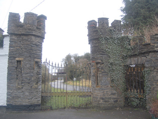 Church of Ireland Bishop’s Palacegates/railings/walls, demesne walls/gates/railings · 70 yd
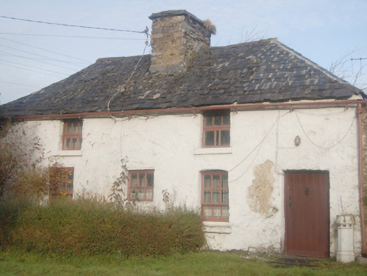 Church of Ireland Bishop's Palacegate lodge, building misc · 71 yd
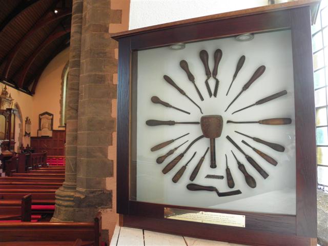 Cathedral in Raphoe TownparksCathedral · 111 yd
 CathedralCathedral · 115 yd
 Mongorry HillMountain / peak · 1.7 mi
 Feddyglass WoodWood · 2.8 mi
 Carnowen HillMountain / peak · 3.3 mi
 CastleCastle, unclassified · 3.8 mi
 BATTLE SITE: BATTLE OF THE FORDS, Central crossing, 1689 in Magirr; Town Parks OF StrabaneBATTLE SITE: BATTLE OF THE FORDS, Central crossing, 1689 · 5.5 mi
 Lurgybrack Open FarmHeritage attraction · 5.8 mi
 Dry Arch MonumentHeritage attraction · 6.2 mi
Other information
Photo: National Inventory of Architectural Heritage · Website use allowed for educational or private purposes with source credit