What is recorded here
The official Northern Ireland wreck record identifies Ulrica as 4 mast square rigger. It was lost in 1897. Recorded depth: 10m. Recorded condition: Scattered wreckage. Imaged on 1998 SSS.
Ulrica was a four-masted square rigger lost in 1897 off Northern Ireland. Little is known about the wreck beyond its date and general description, though it was imaged in 1998 at a depth of 10 meters.
A wreck point does not grant access or permission to dive, enter land, disturb the site or recover anything. Check current law and local conditions first.
Places near here
 Lighthouse IslandIsland · 414 yd
 Mew IslandIsland · 1040 yd
 Mew Island LightLighthouse · 1193 yd
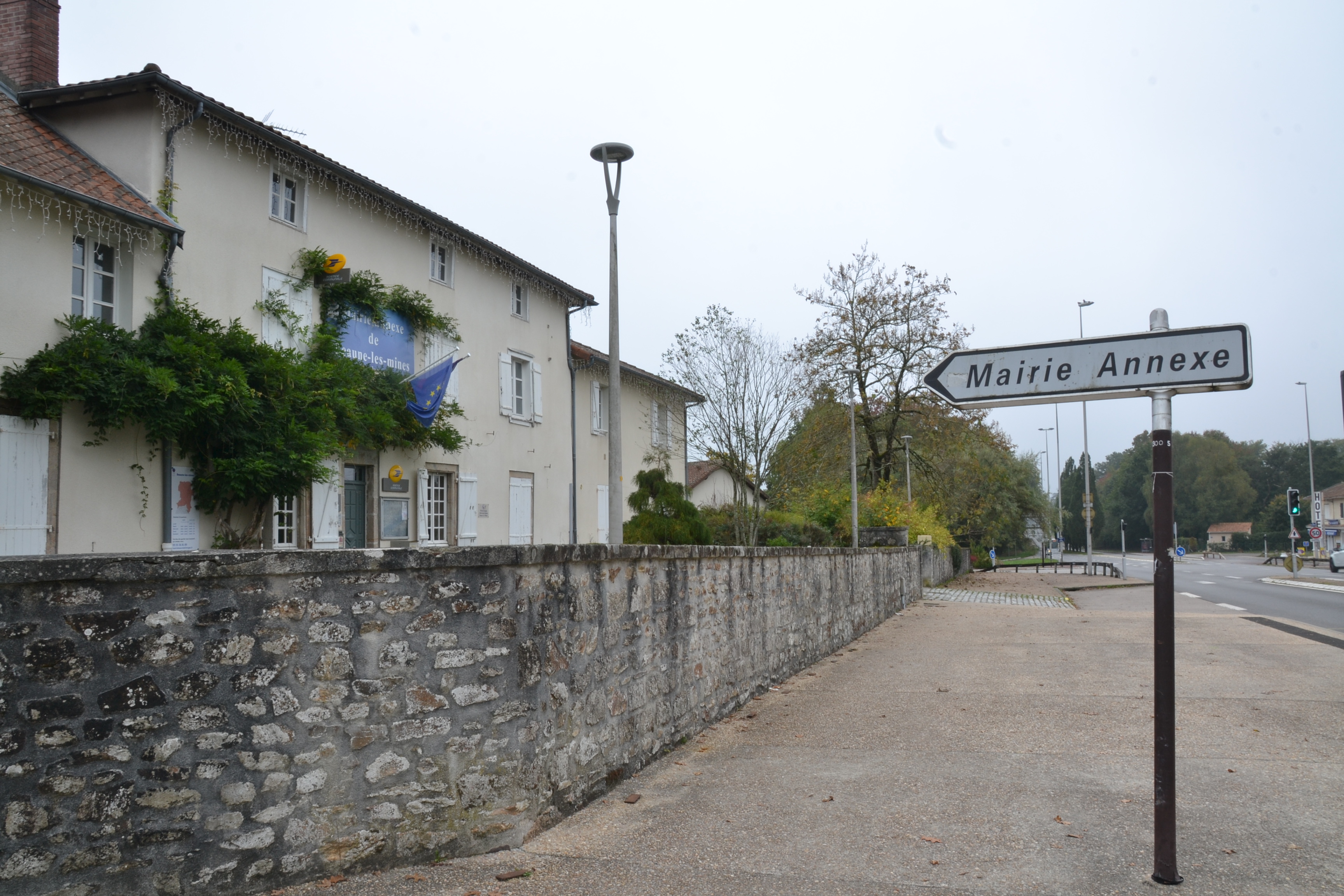 RATH & ENCLOSURE (annexe?) in BallyminetraghRATH & ENCLOSURE (annexe?) · 3.6 mi
 Donaghadee LighthouseLighthouse · 3.6 mi
 MODERN CHURCH ON SITE OF MEDIEVAL CHURCH: DONAGHADEE in DonaghadeeMODERN CHURCH ON SITE OF MEDIEVAL CHURCH: DONAGHADEE · 3.8 mi
 North Down MuseumMuseum · 6.2 mi
 Bangor CastleCastle · 6.2 mi
 Skippingstone BeachBeach / strand · 6.2 mi
 Brompton BayBeach / strand · 6.5 mi
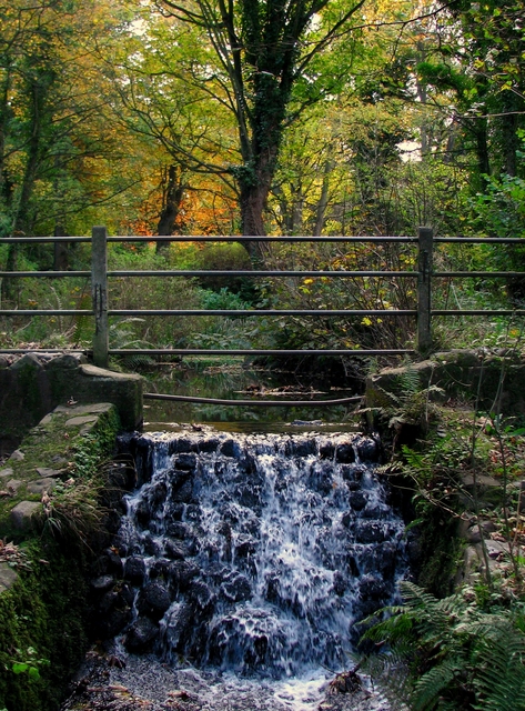 Stricklands GlenWood · 6.9 mi
 North Down Coastal PathWalking route · 7.4 mi