What is recorded here
Two platforms rise in County Armagh, neither fully named nor certainly dated. They may be raths, human-made rings of earth and memory, or tree rings, natural discs forgotten by time. That uncertainty is the shape of the place: two circles waiting to be read, able to hold either answer without breaking.
The official Northern Ireland record identifies this as TWO PLATFORMS - Raths? or Tree Rings?. Recorded period: UNCERTAIN. The official map point was placed at the centre of the recorded archaeological site from the source map reference.
The monument record does not grant public access. Check the route and ask the landowner before entering private land.
- What survives
- Recorded monument
Places near here
 Lake Walk (Derryadd)Walking route · 1.3 mi
 ENCLOSURE in TamlaghtmoreENCLOSURE · 1.5 mi
 A.P. SITEA.P. SITE, circular enclosure · 1.7 mi
 Bond's BridgeBridge · 1.8 mi
 Drumcrow ASSINature reserve · 2.1 mi
 Tullyroan BridgeBridge · 2.2 mi
 Millennium MilepostVisitor information · 2.6 mi
 Coney IslandIslet · 3.5 mi
 Washing BayBay · 3.7 mi
 Dan Winter's cottageHeritage attraction · 4.8 mi
 Clonoe ambushterrorist attack · 4.8 mi
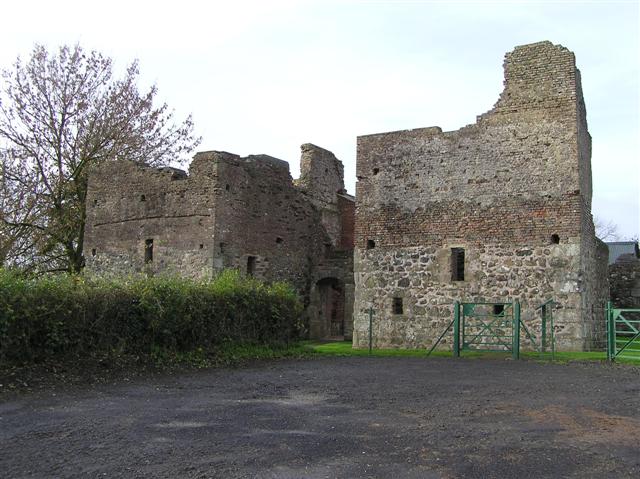 C17th CAMPAIGN FORT: MOUNTJOY CASTLE in Magheralamfield, MountjoyC17th CAMPAIGN FORT: MOUNTJOY CASTLE · 5.2 mi