What is recorded here
Station 9 of St. Columbkille's turas is a small cairn in Glencolumbkille valley with a flat slab set upright on top. The stones sit in fair pasture land, marking a place where human hands shaped death, memory or journey long before written records.
A cairn (DG080-015001-) 3.6m N-S × 2.3m E-W and 0.75m high has a flat slab set upright on top. The slab (DG080-015002-) is .88m × 0.43m × 0.1m. This is station 9 of St. Columbkille's turas but the antiquity of these features is not clear. It is situated in fair pasture land in the centre of Glencolumbkille valley.
The above description was published in the 'Archaeological Survey of County Donegal. A description of the field antiquities of the County from the Mesolithic Period to the 17th century.' Compiled by: Brian Lacey with Eamon Cody, Claire Cotter, Judy Cuppage, Noel Dunne, Vincent Hurley, Celie O'Rahilly, Paul Walsh and Seán Ó Nualláin (Lifford: Donegal County Council, 1983).
Date of upload: 22 September 2008
A portal dolmen; likely dating to the Neolithic or early Bronze Age. Its significance lies in its association with the Turas Cholmcille pilgrimage route, linking prehistoric monuments with later Christian tradition.
The monument record does not grant public access. Check the route and ask the landowner before entering private land.
- What survives
- Recorded monument
Places near here
 An Droim Rua Carved Cross-Slab PlaceEnclosure · 159 yd
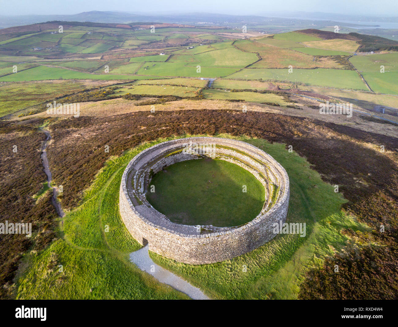 Cointe Cró Ploughed-Out Earthen RingfortFairy fort / earthen ringfort · 350 yd
 IndicatedChurch · 361 yd
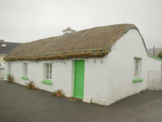 Teachín Tessiehouse · 377 yd
 Glencolmcille Old GraveyardGraveyard · 616 yd
 Trá an GhleannaBeach / strand · 1567 yd
 Glencolmcille Folk VillageMuseum · 1.1 mi
 An Trá Bheag (Trá Bheag an Ghleanna)Beach / strand · 1.3 mi
 Rossan PointHeadland · 3.3 mi
 An Tor MórIslet · 3.7 mi
 CroaghstraleelMountain / peak · 3.9 mi
 Silver Strand ViewpointViewpoint · 4.1 mi