What is recorded here
Tumulus is shown as a archaeological place on the public map of North Devon. The saved point is the map point or the centre of its mapped shape.
This does not grant access. Check current paths, opening conditions and ownership before entering.
Places near here
 Kipscombe HillMountain / peak · 706 yd
 Leeford Bridge (that Part in Brendon Cp)Listed building · 986 yd
 Boundary StoneMonument or public art · 994 yd
 Wingate WaterfallWaterfall · 1369 yd
 Cave, below Desolation PointCave or cavern · 1400 yd
 Southern WoodForest · 1.2 mi
 Linear barrow and cairn cemetery on Cosgate Hill, circa 240m north-west of County Gate Visitor CentreScheduled monument · 1.2 mi
 Southern BallMountain / peak · 1.3 mi
 Sister´s FountainSpring · 1.3 mi
 County Gate Information Centre and Gate Piers in Front on Either Side of Road (that Part in Countisbury Cp)Listed building · 1.4 mi
 The ForelandViewpoint · 1.5 mi
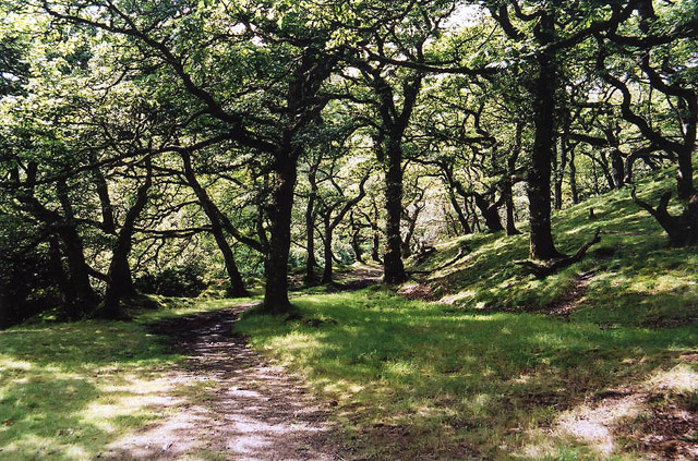 Brendon: Badgworthy WoodForest or wood · 2.7 mi