
What is recorded here
Half a kilometer above the lough, a ghost ring holds the hilltop. Twenty-five meters across, it has no stone wall, only a faint ribbon of greener grass marking where earth once stood. The fort disappeared so completely that it became a rumor, visible only when rain darkens the grass or shadow stretches long across the summit. What was hidden may have been a home, a marker or a boundary, but the land still remembers the shape.
Internal diam. c. 25m. A circular area enclosed by a barely perceptible raised band of richer grass growth. The topography suggests that this was an earthen enclosure. It stood near the summit of a hill overlooking Gartan Lough in good land with excellent views.
The above description was derived from the 'Archaeological Survey of County Donegal. A description of the field antiquities of the County from the Mesolithic Period to the 17th century.' Compiled by: Brian Lacey with Eamon Cody, Claire Cotter, Judy Cuppage, Noel Dunne, Vincent Hurley, Celie O'Rahilly, Paul Walsh and Seán Ó Nualláin (Lifford: Donegal County Council, 1983). In certain instances the entries have been revised and updated.
Date of upload: 22 September 2008
The monument record does not grant public access. Check the route and ask the landowner before entering private land.
- What survives
- Recorded monument
Places near here
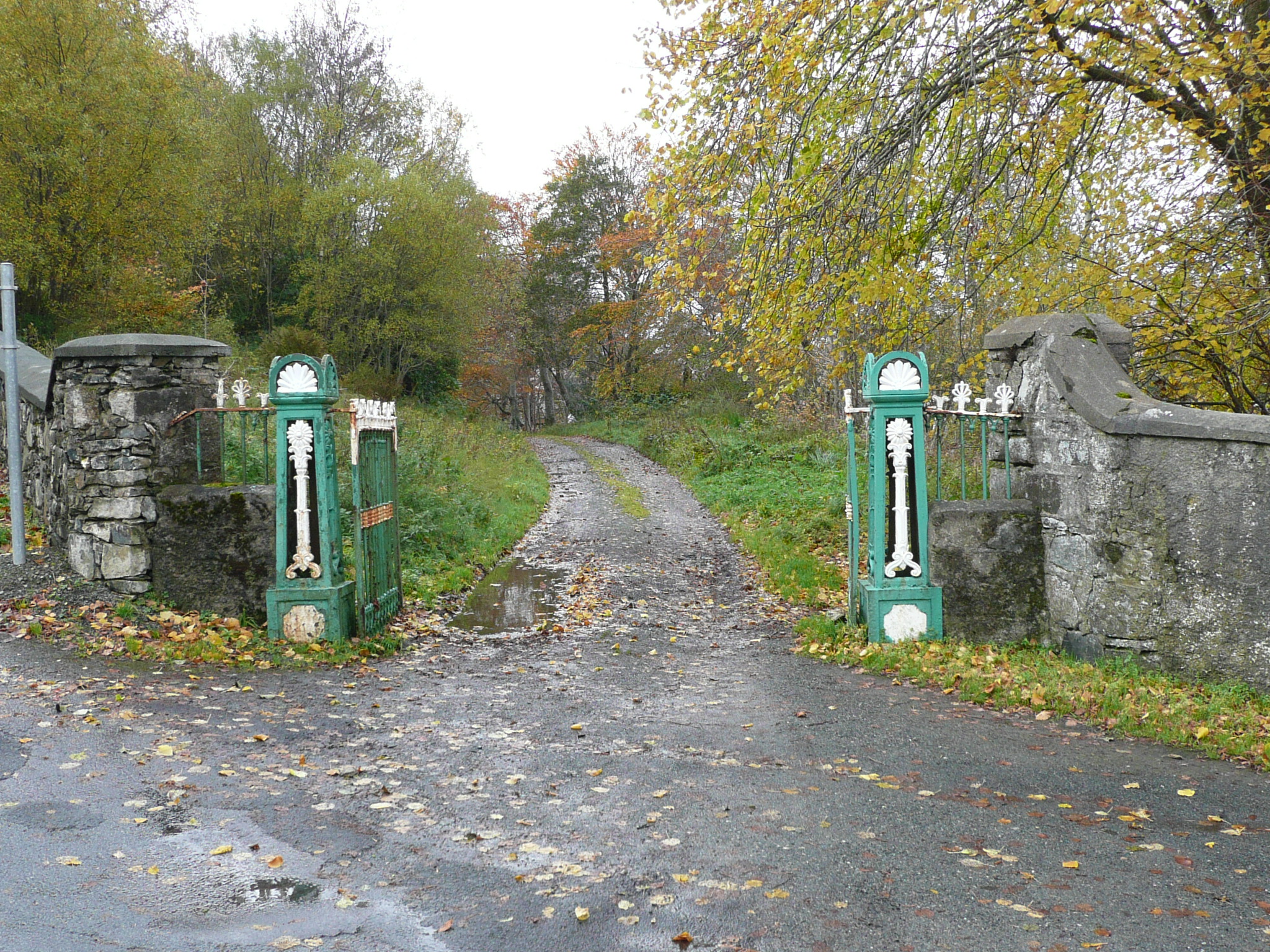 Lough Veagh Housedemesne walls/gates/railings · 332 yd
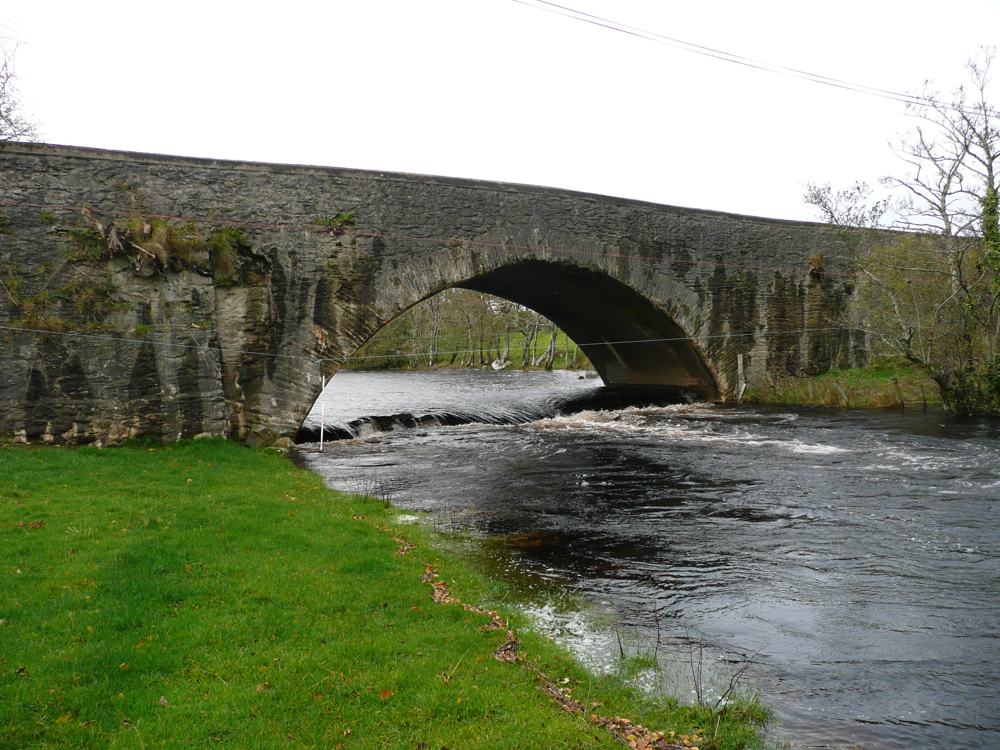 Gartan Bridgebridge · 365 yd
 Glebe House and GalleryHeritage attraction · 1065 yd
 European BeechEuropean Beech · 1069 yd
 Glebe EnclosureEnclosure · 1088 yd
 Former Rough Island FortFairy fort / ringfort · 1558 yd
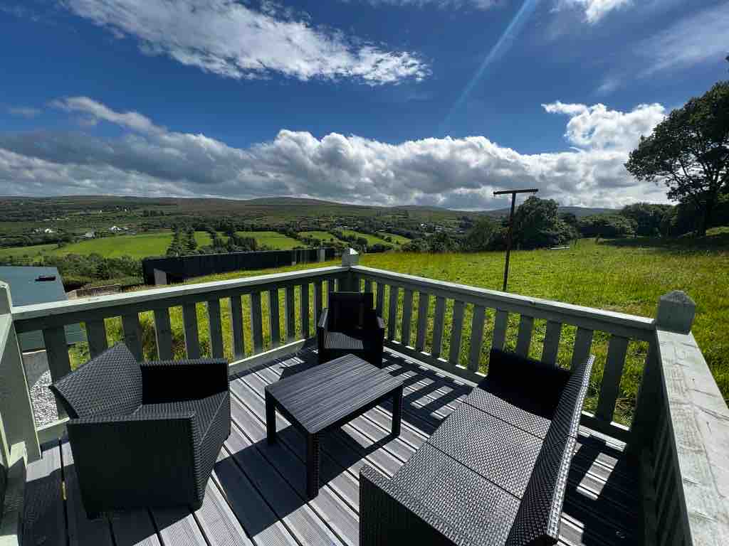 Church Hill ForestForest recreation place · 1.2 mi
 Stackarnagh Abbey GraveyardGraveyard · 2.4 mi
 Master Sword in StoneHeritage attraction · 3.3 mi
 Gregory HillMountain / peak · 3.9 mi
 Bracken IslandIslet · 4.3 mi
 Craw IslandIslet · 4.3 mi
Other information
Photo: Credit not shown in the picture search · Rights wording not checked; contact us if this picture should be removed