What is recorded here
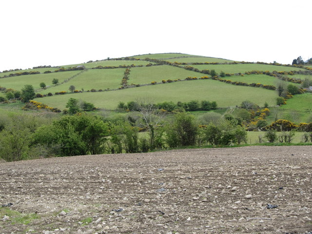
Three stone walls and a rectangular fence still mark Drumdreenagh, though no human hand has touched them for centuries. The stones remember every footstep that crossed them, every argument settled inside, every child born under that sky. They wait patiently for the next person foolish enough to listen.
The official Northern Ireland record identifies this as TRIVALLATE RATH with RECTILINEAR ENCLOSURE (seen from AP). Recorded period: E.CHRIST.. The official map point was placed at the centre of the recorded archaeological site from the source map reference.
A trivallate rath with a rectilinear enclosure in Drumdreenagh, Moneygore, is a likely early-medieval ringfort, characterized by three concentric banks and ditches, often associated with rural settlements or small farming communities. Local folklore, though sparse, may link such sites to fairy traditions, with raths commonly believed to be homes of the "good people" in Irish and Ulster folklore.
The monument record does not grant public access. Check the route and ask the landowner before entering private land.
- What survives
- Recorded monument
Places near here
 Bannfield BridgeBridge · 709 yd
 ENCLOSURE in Ballycoshone LowerENCLOSURE · 1541 yd
 McComb's BridgeBridge · 1660 yd
 TOWER-HOUSE: RATHFRILAND CASTLE in RossconorTOWER-HOUSE: RATHFRILAND CASTLE · 1.3 mi
 Ecclesiastical site -possible contender for the "Church of Drumlyn" in AughnavallogEcclesiastical site -possible contender for the "Church of Drumlyn" · 1.6 mi
 The Brontë CentreVisitor information · 1.6 mi
 CASTLE & RATH reused as BAILEY: SEAFIN CASTLE; Magh Cobha; Moycove in SeafinCASTLE & RATH reused as BAILEY: SEAFIN CASTLE; Magh Cobha; Moycove · 2.8 mi
 KnockiveaghMountain / peak · 3.3 mi
 Knockiveagh Picnic SitePicnic place · 3.4 mi
 Kilcoo GraveyardWalking route · 3.8 mi
 Carn HillMountain / peak · 4.3 mi
 West TorCliff · 4.4 mi