
What is recorded here
Craig-an-Ariff once rose in Carnanee as a triangular fort with two cairns, but destruction removed its walls and left only memory behind. The name itself suggests a point of distinction, perhaps a boundary marker or gathering place for people who needed the land shaped into meaning. What remains is the shape of what was lost: a small enclosure bold enough to be recorded, gone enough to resist description.
The official Northern Ireland record identifies this as TRIANGULAR ENCLOSURE & TWO CAIRNS: CRAIG-AN-ARIFF FORT (destroyed). Recorded period: UNCERTAIN. The official map point was placed at the centre of the recorded archaeological site from the source map reference.
The monument record does not grant public access. Check the route and ask the landowner before entering private land.
- What survives
- Recorded monument
Places near here
 ENCLOSURE (O.S. memoir site, unlocated) in CarnalbanaghENCLOSURE (O.S. memoir site, unlocated) · 485 yd
 CASTLE & SETTLEMENT SITE (unlocated) in GlebeCASTLE & SETTLEMENT SITE (unlocated) · 815 yd
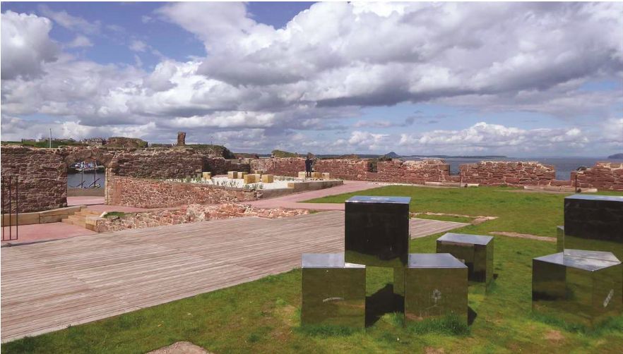 ENCLOSURE (O.S. memoir site, unlocated) in DrumsladeENCLOSURE (O.S. memoir site, unlocated) · 828 yd
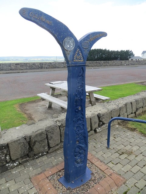 Millennium MilepostVisitor information · 1043 yd
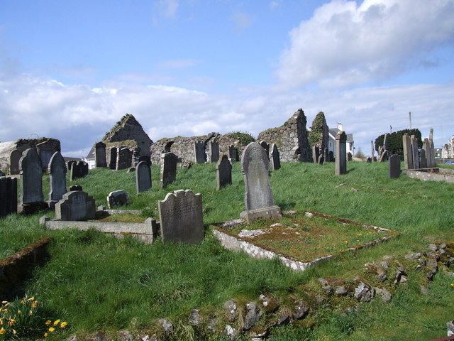 The ruins of the original Agherton Church Of Ireland ChurchRuins · 1386 yd
 Cromore StationHouse · 1.6 mi
 Portstewart StrandBeach / strand · 1.7 mi
 Quilley Picnic AreaPicnic place · 1.8 mi
 Castlerock BeachBeach / strand · 3.0 mi
 Hezlett HouseHeritage attraction · 3.2 mi
 Somerset ForestForest · 3.5 mi
 CHURCH & GRAVEYARD: BALLYWILLIN in GlebeCHURCH & GRAVEYARD: BALLYWILLIN · 3.6 mi
Other information
Photo: Credit not shown in the picture search · Rights wording not checked; contact us if this picture should be removed