What is recorded here
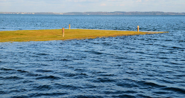
The official Northern Ireland record identifies this as TREE STUMPS. Recorded period: MESOLITHIC. Recorded protection: Scheduled. The official map point was placed at the centre of the recorded archaeological site from the source map reference.
The monument record does not grant public access. Check the route and ask the landowner before entering private land.
- What survives
- Recorded monument
Places near here
 MEDIEVAL CHURCH; poss. PRE-NORMAN MONASTIC SITE; EARLY CHRISTIAN HARBOUR and FISH TRAPS in Chapel IslandMEDIEVAL CHURCH; poss. PRE-NORMAN MONASTIC SITE; EARLY CHRISTIAN HARBOUR and FISH TRAPS · 421 yd
 Mid IslandIslet · 1311 yd
 The Temple of the WindsEstate Related Structures · 1.4 mi
 Unfinished carved cross in Reagh IslandUnfinished carved cross · 1.5 mi
 Red Trail, Mount StewartWalking route · 1.5 mi
 Greyabbey Primary SchoolSchool · 1.6 mi
 Mount StewartHeritage attraction · 1.8 mi
 Grey Abbey HouseCastle · 1.8 mi
 Lake Walk, Mount StewartWalking route · 1.9 mi
 Cross IslandIslet · 2.0 mi
 Ringneill QuayBay · 2.2 mi
 Mahee CastleCastle · 2.6 mi