What is recorded here
Rosmount may have worn a tree ring before it became a rath, marking time in bark and stone rather than ink. That repeated shape suggests people returned to the same place, reading life and loss in its circles.
The official Northern Ireland record identifies this as TREE RING, possibly reused RATH: ROSEMOUNT. Recorded period: UNCERTAIN. The official map point was placed at the centre of the recorded archaeological site from the source map reference.
The monument record does not grant public access. Check the route and ask the landowner before entering private land.
- What survives
- Recorded monument
Places near here
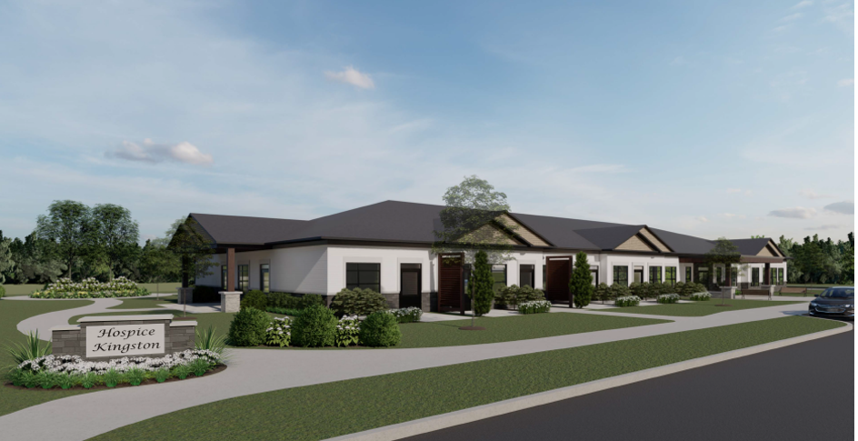 ENCLOSURE: THE HOSPICE or FORT OF THE GUESTS in CorporationENCLOSURE: THE HOSPICE or FORT OF THE GUESTS · 693 yd
 Armagh GaolPrison · 715 yd
 Primate's ChapelChurch · 737 yd
 ARMAGH FRANCISCAN FRIARY in Parkmore OR DemesneARMAGH FRANCISCAN FRIARY · 878 yd
 Armagh Rail Disaster Memorial SculptureMemorial · 902 yd
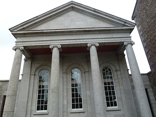 Armagh County MuseumMuseum · 1095 yd
 Crimean CannonMemorial · 1172 yd
 Battle of the Yellow FordMajor battlefield · 1187 yd
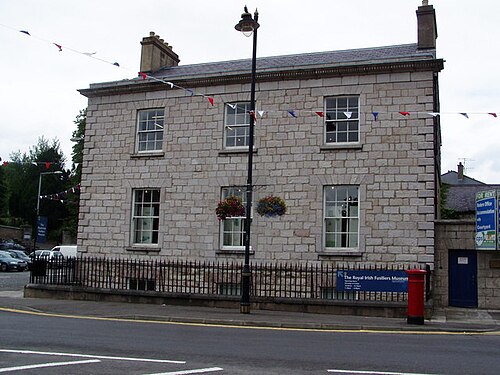 Royal Irish Fusiliers MuseumMuseum · 1313 yd
 Battle of ClontibretMajor battlefield · 1323 yd
 Abbey StreetVisitor information · 1460 yd
 Cannon HillViewpoint · 3.4 mi